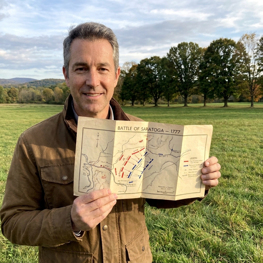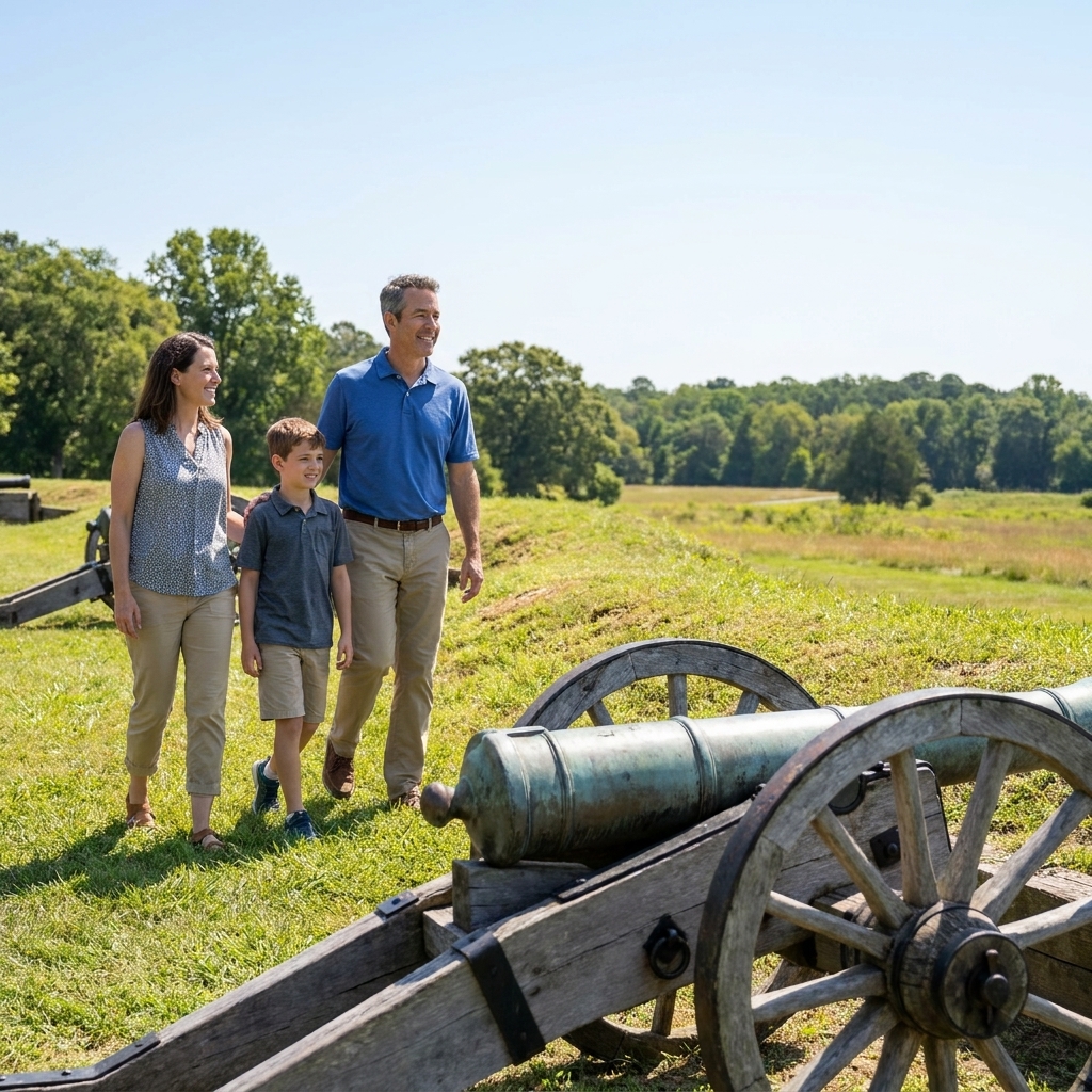

I grew up in Pennsylvania on weekends spent chasing brown-and-gold historical markers, and I still travel the same way today, stopping wherever the road bends toward an old battlefield or a colonial town green. But over the years, one thing has become very clear: access is part of the story, too. If a site is hard to move through, it is harder to learn in, harder to linger in, and harder to share with the people you love.
This list focuses on East Coast Revolutionary War sites where the basics are usually done well: firm routes you can actually use, step-free access to the primary interpretation, visitor centers that do not feel like an obstacle course, and layouts that do not require an endurance test just to see the highlights. Outdoor conditions change with weather, wear, and construction, so I still recommend a quick call ahead if you are planning a once-in-a-lifetime trip.

How I judged accessibility
- Firm surfaces on the main interpretive route (pavement, boardwalk, hard-packed paths, or short distances from accessible parking), not just a sidewalk at the entrance.
- Step-free access to the core experience: exhibits, film, bookstore, and restrooms.
- Short-stop touring where you can drive between story points and still feel like you “got it.”
- Honest tradeoffs because historic landscapes come with slopes, thresholds, and the occasional frustrating patch of gravel.
If you are new to battlefield touring, I suggest skimming my planning basics first: Plan a Revolutionary War site visit. A little prep makes everything smoother.
A quick reality check
When I say “wheelchair-accessible,” I am not promising ADA-perfect conditions at every stop. A manual chair, power chair, and mobility scooter all handle grades and surfaces differently. Weather matters, too. Packed dirt can be great in a dry week and miserable after a storm. That is why I build these visits as a string of short chapters, and why I always call ahead if I am traveling far.
Wheelchair-friendly Revolutionary War sites
Yorktown Battlefield and the American Revolution Museum (Yorktown, Virginia)
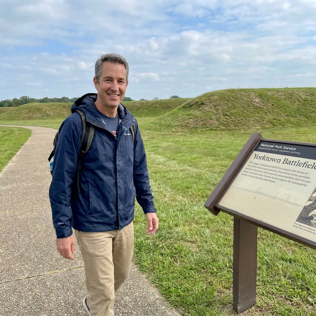
Yorktown is one of those places where the history is huge and the visitor experience can still feel manageable. One important clarification: Yorktown Battlefield is part of Colonial National Historical Park (National Park Service), and the American Revolution Museum at Yorktown is a separate site operated by the Jamestown-Yorktown Foundation. They are close, and they pair beautifully, but their parking and day-to-day accessibility details are not identical.
- Best for: A major turning point you can experience in short, high-value stops.
- Why it works: The battlefield lends itself to a drivable visit with pull-offs, and both sites are designed around visitor-center style interpretation when you need a break from weather.
- Most common barrier: Outdoor approaches can shift from smooth to bumpy depending on the specific stop, especially where pavement meets grass.
- On the ground tip: Treat it like chapters. Do the museum or visitor center first, then two or three battlefield pull-offs, then call it a win.
Pair this with my comparison of turning-point trips if you are choosing between major battlefields: Saratoga vs. Yorktown.
Saratoga National Historical Park (Stillwater, New York)
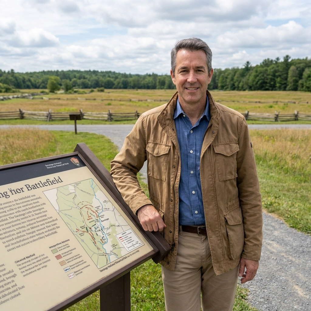
Saratoga is expansive, but it is also a place where you can get the campaign’s shape through a driving-style visit and selective stops. That flexibility is the accessibility advantage here. The tradeoff is that the ease of each stop can vary by season, maintenance work, and which pull-off you choose. I plan Saratoga as a day where the car does most of the distance work, and I treat any long trail as optional.
- Best for: A big battlefield where you can choose your level of effort.
- Why it works: You can follow the story in a “drive, stop, interpret, repeat” rhythm and still understand why Saratoga mattered, even if you only do a handful of pull-offs.
- Most common barrier: Uneven ground at some roadside waysides and seasonal softness after rain.
- On the ground tip: Ask at the desk which two or three stops have the firmest approach right now. That one question can save you a lot of frustration.
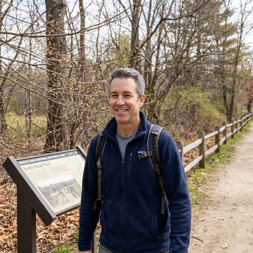
Minute Man National Historical Park (Massachusetts)
The opening day of the Revolution is a strong accessibility trip because you can build it out of small, meaningful scenes. I like to think of Minute Man as a choose-your-own-adventure day: you pick the stops that match your mobility needs and still walk away with April 1775 in your bones.
One honest note: some of the iconic outdoor areas involve packed surfaces and gentle grades that change with weather. On a dry day, that can be perfectly manageable. After rain or thaw, the same route can feel like a different place.
- Best for: A story-driven day built from short, famous landmarks.
- Why it works: The park is naturally divided into multiple nodes with parking and waysides, so you are not forced into one long trail to get value.
- Most common barrier: Surface changes near the classic river and bridge areas, plus grades that feel steeper on the way back.
- On the ground tip: Build your day around two to four anchor stops rather than trying to do it all. If one path feels too soft, pivot to the next scene.
I have a full trip-style approach to this area here: Following the Minutemen on the Lexington and Concord Battle Road.
Fort Moultrie at Sullivan’s Island (South Carolina)
Coastal forts can be an accessibility win because the story is compact and visual. At Fort Moultrie, you are not trying to cover miles of battlefield. You are trying to understand a harbor, a fort, and what palmetto-log defenses meant in the moment.
Forts are also where you feel the tension between 18th-century design and modern access. In practical terms, assume tight turns, occasional thresholds, and uneven historic surfaces in certain areas. If a specific interior space is tight or stepped, you can often still get the core story from the main interpretive areas and the exterior gun line views.
- Best for: A compact stop where the setting explains the battle fast.
- Why it works: The visit breaks naturally into short segments: exterior fort views, harbor overlooks, and the main interpretive areas.
- Most common barrier: Historic surfaces and small level changes in and around older structures.
- On the ground tip: Coastal comfort changes fast. Bring water and plan a shaded pause so the site stays enjoyable, not exhausting.
For the history and what to look for on site, start here: Palmetto logs and cannonballs at Sullivan’s Island.

Guilford Courthouse National Military Park (Greensboro, North Carolina)
Guilford Courthouse is one of my favorite “teach the Southern Campaign in a day” parks because you can feel the battle lines without having to disappear into backwoods trails. Many key monuments and interpretive pull-offs are reached by road, and you can choose the stops with the easiest approaches without losing the narrative.
- Best for: A battlefield you can understand from a drivable monument loop.
- Why it works: The park road connects many of the big-name monuments and waysides, so you can do a short list of stops and still grasp the three-line structure of the battle.
- Most common barrier: Short grades and older pavement near monuments that can be cracked or uneven in places.
- On the ground tip: Aim for the stops that explain the three American lines. Once that clicks, everything else on the field makes sense.
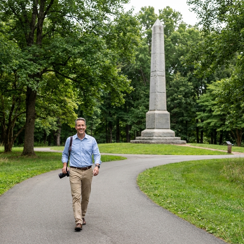
Moores Creek National Battlefield (Currie, North Carolina)
Moores Creek is a satisfying smaller site because you are not trying to conquer acreage. You are there to understand a crossing, a choke point, and a decision. In my experience, this is a place where you can often get a lot out of short routes, but it is also the kind of landscape where one wet week can change how firm a path feels.
- Best for: A smaller battlefield where the story is concentrated.
- Why it works: It is possible to build the visit around the most direct interpretive points, rather than committing to a long hike.
- Most common barrier: Low ground that can feel soft after rain, plus transitions where a firm segment meets a rougher edge.
- On the ground tip: Before you set out, ask whether any boardwalks, gates, or path transitions have changed recently. Small access details can make or break this site.
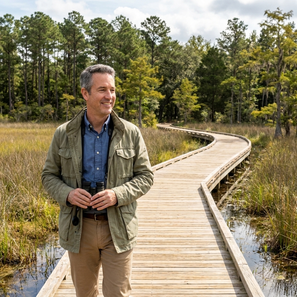
Valley Forge National Historical Park (Pennsylvania)
Valley Forge is a strong pick for mobility-friendly touring because the story fits the driving-loop model so well. You can move between key memorials and interpretation in short bursts, with plenty of opportunities to stop, read, and absorb the idea of an encampment that lasted for months. It is also a park that rewards repeat visits, because you can do it in small bites.
- Best for: A classic site where a driving loop delivers the core experience.
- Why it works: You can tour by car and choose a few meaningful stops, instead of committing to one long route.
- Most common barrier: Distances add up if you try to do every stop, plus occasional grades around memorial areas.
- On the ground tip: Pick three stops and do them well. Valley Forge is about persistence, not checking boxes.
If you want to add the “training and transformation” chapter to your day, this pairs well: Baron von Steuben at Valley Forge.
Washington Crossing, Trenton, and Princeton (Pennsylvania and New Jersey)
I am grouping this as an area trip because the crossing story is naturally broken into scenes: the river, departure and arrival points, then Trenton and Princeton. That structure is great for accessibility, but it comes with a warning label: access varies a lot by which specific parking lot, riverside pull-off, museum, or path segment you choose on a given day.
- Best for: An itinerary where you can stay flexible and keep distances short.
- Why it works: You can build a powerful day out of short stops with driving between them. If one riverfront path is rough, you can still pivot to another viewpoint without losing the narrative.
- Most common barrier: Riverfront grades, narrow points, and seasonal surface issues, especially in winter.
- On the ground tip: Start with the most structured stop on your list, usually a visitor center or museum, then decide how much riverfront rolling feels realistic that day.
For an itinerary-style approach across the river towns and battlefields, start here: Following Washington’s Crossing.
Brooklyn and New York City area sites (New York)
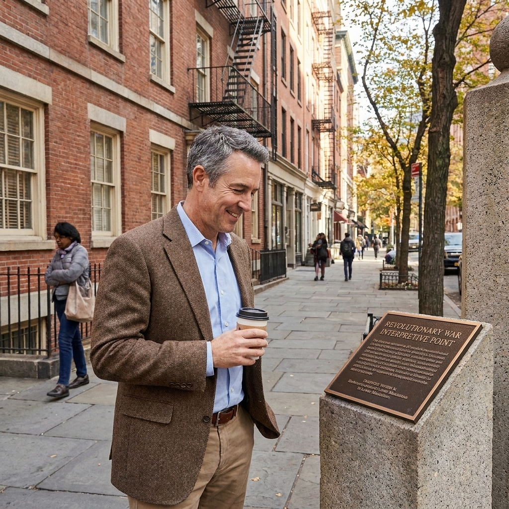
If you want an East Coast option that is less about trails and more about urban reality, I like building a day around modern New York’s Revolutionary footprint. City sidewalks can be uneven and crowded, but you can often find curb cuts, benches, and nearby indoor breaks more easily than at a rural battlefield. The main trick is pacing and timing, because the same block feels very different at rush hour.
- Best for: An outdoor history day with minimal trail surfaces.
- Why it works: You can gather a lot of Battle of Brooklyn context from short, street-level stops where the route can be adjusted on the fly.
- Most common barrier: Curb ramps that vary block to block, street grades, and crowded sidewalks.
- On the ground tip: Time it early. You will get more usable space and a calmer experience at the same locations.
For a site-by-site approach, use this as your backbone: Tracking the Battle of Brooklyn in modern New York.
Practical tips for smoother visits
Call ahead with four questions
- Which exhibits, films, and restrooms are step-free right now?
- What is the main outdoor surface today: pavement, packed gravel, boardwalk, or soft ground?
- What is the steepest grade on the most popular route, and are there any tricky door thresholds or tight turns?
- Where should I park for the easiest start, and which stop do you consider the most mobility-friendly first chapter? If loaner wheelchairs are available, ask how they work.
Plan for your device, not an ideal day
If you use a power chair or scooter, your day might be limited more by tight turns and thresholds than by distance. If you use a manual chair, grades and rough texture can be the deciding factor. I plan routes assuming at least one surface surprise, and I choose a day that still feels satisfying if we cut the outdoor portion short.
Build the day around short loops
Many battlefields were not designed with modern paths in mind, and weather can turn a passable trail into a struggle. I plan accessible days like a string of short wins: a visitor center, a monument loop, a single overlook, then lunch. If you have energy left, you add one more chapter.
Use battlefield maps on site
When walking distance is limited, the map becomes even more valuable because it helps you translate a short viewpoint into a whole battle line. If you want a quick refresher on reading battlefield maps in the field, here is my guide: How to read Revolutionary War battlefield maps on site.
Accessible itinerary ideas
Long weekend: Virginia turning points
- Day 1: Yorktown as a short-stop day, plus waterfront time.
- Day 2: Make it museum-heavy and indoor-friendly in case wind or rain makes the battlefield less comfortable.
- Day 3: One final overlook-style stop, then a relaxed departure.
Family day: Valley Forge
- Stop 1: Visitor center interpretation first, when everyone’s energy is best.
- Stop 2: Two short outdoor stops on the loop.
- Stop 3: Early lunch, then one last memorial or headquarters-area stop.
If you are traveling with kids, this is worth a look as you plan: Top battlefields to visit with kids.
Accessibility and expectations
Even at the best sites, outdoor history comes with variables: rain that softens trails, tree roots that heave pavement, temporary closures, and older buildings where access solutions are still evolving. The goal is not perfection. The goal is choosing places where you can arrive, roll in, and spend your time on the story instead of the logistics.
If you are building a broader trip, you can browse more ideas here: Historic Sites guide.