
The Battle of Brooklyn, also called the Battle of Long Island, is often described as the Revolutionary War’s largest single battle by troop numbers engaged. That fact still knocks me sideways every time I’m standing on a tidy Brooklyn sidewalk, taxis hissing past, and I remember that in August 1776 this same ground shook under tens of thousands of boots, cannon smoke, and a retreat that nearly ended the American cause before it really began.
The hard part today is not caring. It is finding it. Modern New York has paved over most of the battlefield, but it has not erased it. The story survives in slivers: a churchyard fence line, a boulder with a plaque, a park with the right view, a street that follows an old ridge.
This is how I track the battle in the city I see now, and how you can too. Think of it as a set of on-the-ground “anchors” you can stitch together into your own day of discovery.

Quick history first
In late August 1776, after the Declaration of Independence, the British came for New York. George Washington knew the city mattered politically and strategically, but he also knew it was hard to defend. The British and Hessian army landed on Long Island and pushed toward Brooklyn’s ridgelines and passes. American forces tried to hold the high ground, but the British outflanked them through Jamaica Pass.
The main fighting is generally dated to August 27, 1776. The result was brutal. American troops fell back to the fortified lines around Brooklyn Heights. From there, Washington faced an ugly choice: surrender a large chunk of the army, or attempt a retreat across the East River with the Royal Navy nearby.
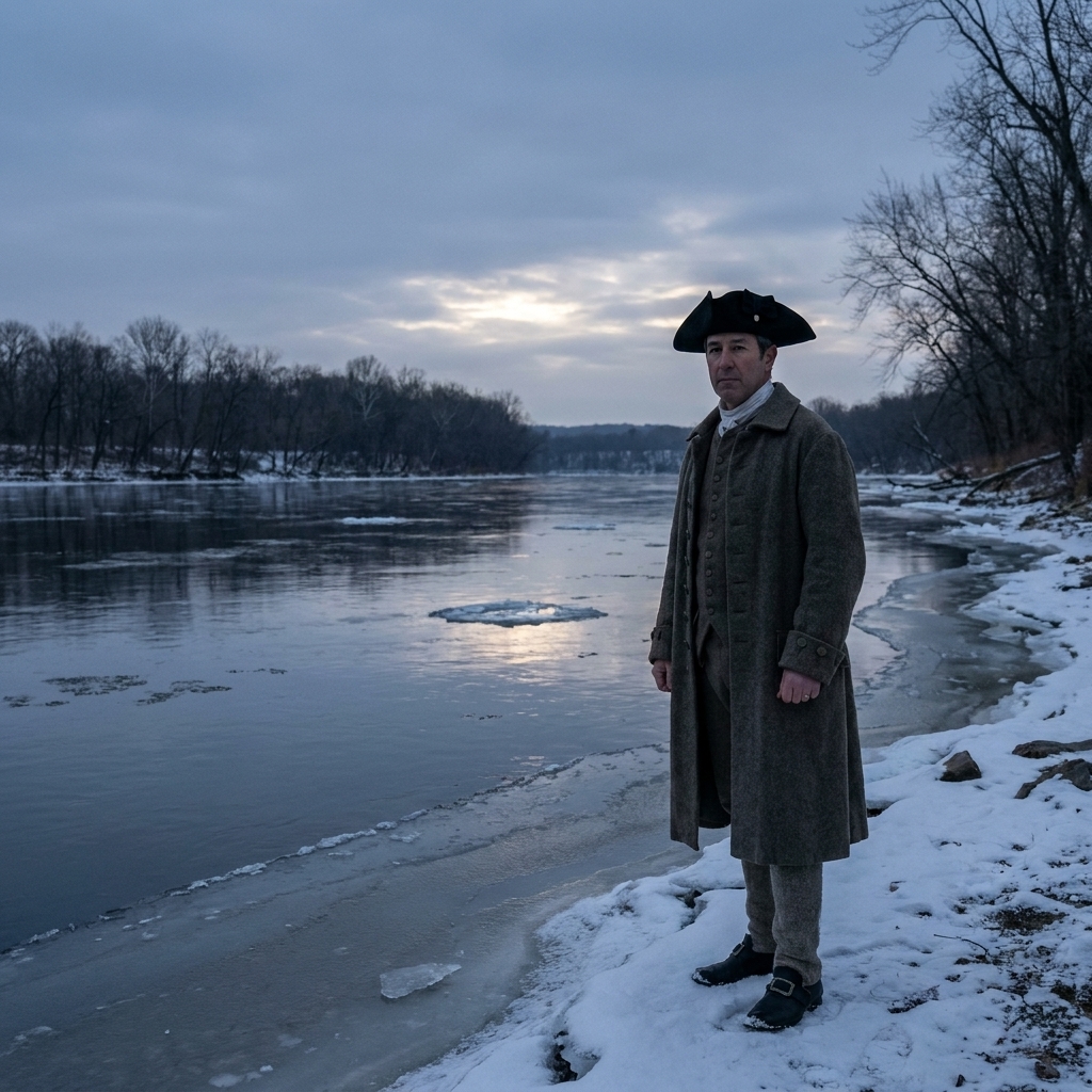
On the night of August 29 into the morning of August 30, 1776, Washington pulled off an evacuation that still feels like a magic trick, moving soldiers, artillery, and supplies from Brooklyn to Manhattan under cover of darkness, and aided by shifting weather and haze that many accounts describe as fog. It was not a victory, but it was survival. And survival mattered more in 1776 than a clean headline.
Start at Brooklyn Heights
If you only have time for one neighborhood, make it Brooklyn Heights. The modern street grid and brownstones can disguise it, but this area gives you two essential things: context and vantage.
Brooklyn Heights Promenade
The Promenade is not a Revolutionary War structure, but it is one of the best places in New York to understand the stakes of the evacuation. You are looking across the water Washington had to cross, with the skyline standing in for a British-controlled city that could choke the rebellion early.
What to do: walk it slowly and angle your view toward Upper New York Bay and the harbor mouth. Imagine troop boats and ferries sliding out into the dark, and imagine what it meant to do that with the Royal Navy in the same waters.

The forts and the lines
The American defenses on Brooklyn Heights were the reason the evacuation was possible. Without those fortifications, there is no organized retreat, just a rout. You will not find intact earthen walls like you might at Yorktown, but you will find commemorations and locations that keep the military geography alive.
Fort Stirling Park
Fort Stirling Park is small, easy to miss, and absolutely worth it. This is one of those New York history moments where the city whispers instead of shouting. It sits on ground associated with the fortified perimeter defending Brooklyn Heights.
What to look for: plaques and the shape of the land. Even in a small park, a rise in elevation can tell you why soldiers wanted this ground.
Downtown Brooklyn markers
Downtown Brooklyn is a blur of courthouses, subway entrances, and foot traffic, but there are still hints of 1776 if you slow down. This is where patience pays off. I usually scan for two kinds of clues: small, official-looking plaques set into low stone walls or iron fencing, and older civic buildings where a marker might sit at eye level near an entrance.
Where to aim your eyes: the edges of small parks, the perimeters of civic plazas, and any stretch of railing that feels older than everything around it. That is where a “this happened here” sign tends to hide in plain sight.
Tip: if you are traveling with kids, this is a good place to turn the walk into a “spot the plaque” game. The city feels less overwhelming when everyone has a mission.
Green-Wood and Battle Hill
When people tell me there is no way to experience the Battle of Brooklyn anymore, I bring up Green-Wood Cemetery. It is not a typical battlefield park, but it preserves terrain. Terrain is half the battle story.
Battle Hill
Battle Hill is widely cited as the highest natural point in Brooklyn, and it played a role in the fighting and maneuvering during the battle. The hill today is crowned with a statue of Minerva, and from the right spots you can still catch a sweeping sense of what “high ground” meant here.
What to do: give yourself time to wander. The point is not one plaque. The point is realizing that ridges and rises shaped decisions, and decisions shaped history.

The Old Stone House
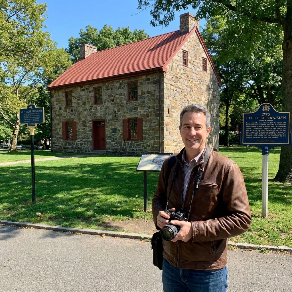
If you want a stop that puts you right on the footprint of the fighting, put the Old Stone House in Park Slope high on your list. This is one of the most tangible “here, not somewhere else” locations tied to the battle.
One important detail, because it matters: the building you see today is not an untouched survivor from 1776. The original house was demolished in 1897, and what stands now is a 1933 reconstruction on the historic site, built with some original stones. I still find it valuable for the same reason I value a ridgeline or a street that follows an old line of march. It pins the story to real ground.
The biggest value of the Old Stone House is emotional. When you stand on a site that the battle ran through, the day stops being “something that happened in Brooklyn” and becomes something that happened right here, with people making desperate choices in the space you can walk in a minute.
What to do: circle the site, read what you can on location, then look up and down the surrounding streets. The neighborhood is modern, but the contours and the distances between points are still legible on foot.
Jamaica Pass
If you are trying to understand why the Battle of Brooklyn went the way it did, the British movement through Jamaica Pass is essential. It is the outflanking maneuver that turned the American defensive plan into a scramble.
Today, the pass area sits in the churn of modern Queens and Brooklyn street networks. You are not going to find a single preserved “pass” with a big interpretive loop trail. For most visitors, it is largely self-guided interpretation: tracing a corridor where terrain once funneled movement.
What you can do is approach it like an antique map exercise, and this is where my map-collector brain gets very happy.
- Bring the right mindset: you are tracing a corridor, not hunting a single “ta-da” monument.
- Notice the ridges: the old high ground and low ground still influence road patterns, even after centuries of development.
- Pair it with reading: do a little homework before you go so the location clicks when you arrive.
A simple route
Here is the route I recommend when I am introducing someone to the battle for the first time. It balances the best views with the most meaningful physical anchors.
Half-day
- Brooklyn Heights Promenade: set the scene and look across the evacuation route.
- Fort Stirling Park: connect the view to the defensive reality.
- Old Stone House: end with a site that puts you on the battlefield’s footprint.
Full-day
This version is doable with a lot of walking, but it is easier if you are willing to use the subway or a quick cab hop between clusters. The key stops are spread out across several neighborhoods, so expect a mix of walking and transit rather than one continuous battlefield trail.
- Brooklyn Heights Promenade
- Fort Stirling Park
- Downtown Brooklyn: slow walk for plaques and commemorations tied to the Heights and the lines.
- Old Stone House
- Green-Wood Cemetery (Battle Hill): finish with terrain that explains the battle in a way textbooks cannot.
City tips
Use intersections
In dense neighborhoods, it is easier to navigate by cross streets. Many historical markers are easiest to spot when you approach them from the right side of the block, so give yourself permission to loop back.
Find quiet corners
Plaques often hide in plain sight on low walls, by park entrances, or near churchyards and older institutional buildings. When the sidewalk widens or the stonework suddenly looks older, slow down.
Walk with the land
Even when everything else changes, slope is stubborn. If you feel yourself climbing, ask: what did this height control in 1776? A road? A view? A line of retreat?
Plan a pause
City history days are louder than rural battlefield days. I like to plan a quiet break in a park or along the Promenade so the story has room to settle in.
Fit it into a trip
The Battle of Brooklyn pairs well with other early-war sites because it shows how fragile the Patriot cause was in 1776. If you are building a broader itinerary, I usually think in terms of “opening chapter” and “turning point.”
- Lexington and Concord for the spark and the immediate shock of open conflict.
- Saratoga or Yorktown for what a turning point looks like after the army has learned how to survive.
- My battles guide if you are stitching multiple battlefields into one road trip.
Quick FAQ
Is it the same as Long Island?
Yes. You will see both names used. “Battle of Brooklyn” is common in local context, while “Battle of Long Island” is often used in broader military histories.
Best place to feel it fast?
The Brooklyn Heights Promenade for the evacuation context, then the Old Stone House site for a concrete connection to the fighting.
Can kids do this?
Absolutely, with two tricks: keep the route short, and give them a mission. Spotting plaques, finding high ground, and imagining the nighttime river crossing turns a heavy subject into an active walk.