

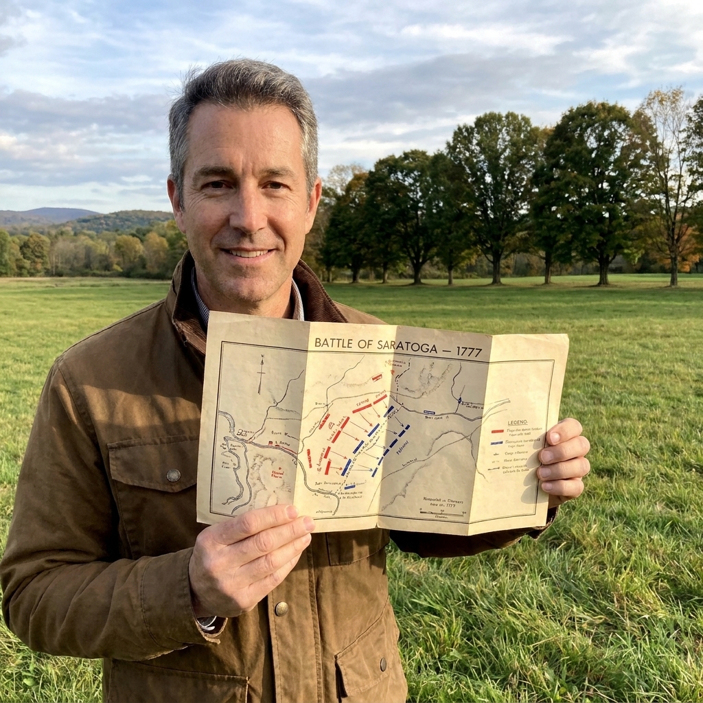
I grew up in Pennsylvania, the kind of place where a historical marker can be the whole plan for a Saturday. Back then I thought battlefield maps were just homework on glossy paper. Years later, after a lot of miles and a lot of battlefield parking lots, I learned the trick: a good map is not for reading in the car. It is for reading with your boots on the ground.
If you have ever stood in a quiet field and wondered how anything decisive could have happened there, this is for you. Once you know what to look for, those little arrows and shaded ridgelines start turning empty space into a story you can follow step by step.
Start with the map you actually have
Revolutionary War sites tend to hand you one of three map types: a modern visitor map, a historical-style battle map, or a hybrid of both. Each one answers different questions.
- Modern visitor maps are about logistics: parking, walking trails, overlooks, restrooms, museum locations. They help you physically get to the right places.
- Battle maps are about action: who moved where, when lines formed, where artillery was placed, where attacks stalled.
- Hybrids combine the two, usually with numbered stops that match interpretive panels on site.
If the site has both a visitor map and a battle map, keep them side by side. One keeps you from getting lost. The other keeps you from missing the story.
For more help choosing which battlefields to visit and what to expect when you get there, I keep a running set of planning resources in Battles and Plan a Revolutionary War site visit.
Orient yourself first: north, scale, and your real-world viewpoint
Before you interpret a single arrow, make sure the map is oriented to the landscape in front of you. This is where most people go wrong. They are reading correctly, but facing the wrong way.
1) Find north, then rotate the map
Most maps put north at the top, but not all. Look for a north arrow. If you are at an overlook or a wayside sign, physically turn the paper until the map’s north matches the direction you are facing. If you use your phone’s compass, even better, but your eyes can usually do it: match a road bend, a river line, or a ridge.
2) Check scale so you stop underestimating distances
Revolutionary War fights often stretched longer than they feel on foot. A “quick walk” between two stops might be half a mile. Scale bars are your reality check. If the scale says 1 inch equals 1/4 mile, those two inches between units is a serious stroll, especially in heat or mud.
3) Decide what kind of viewpoint the map uses
Most battlefield maps are either:
- Bird’s-eye (top-down), like a standard road map.
- Oblique, like you are floating above the field looking at an angle. These are beautiful, but can distort distance and make hills look steeper or gentler than they are.
Decode the legend: the “alphabet” of battlefield maps
Battle maps are a language. The legend is your dictionary. Even if you think you know it, take 30 seconds and read it anyway because each site uses slightly different conventions.
Common symbols you will see
- Solid lines: established lines of battle, defensive positions, or unit fronts.
- Dashed lines: planned movements, uncertain positions, or later reconstructions.
- Arrows: troop movements or attacks. Arrow direction matters more than arrow length.
- Blocks or rectangles: infantry units, often sized to suggest strength, but not always to scale.
- Crossed cannons or small gun icons: artillery positions or batteries.
- Hatching or shaded areas: wooded ground, marsh, or rough terrain.
- Thick blue lines: rivers or creeks. Thin blue lines can be intermittent streams that mattered a lot more in 1777 than they do now.
One practical tip: if the map uses color to separate sides, confirm which color equals which army. Many maps use red for British and blue for Americans, but you will see variations, especially on older printed brochures.
Let terrain do the talking: reading hills, woods, water, and roads
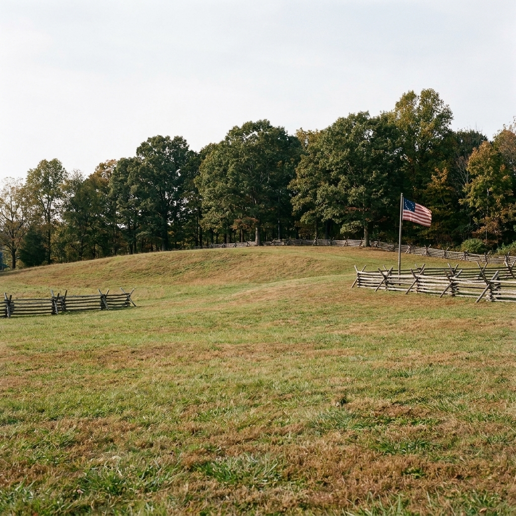
If you only learn one thing, learn this: on most Revolutionary War maps, terrain is not decoration. Terrain is the reason the battle unfolded the way it did.
Contour lines and shaded relief
Some maps use contour lines, others use shaded relief. Either way, you are trying to answer two questions:
- What can be seen from where? A small rise can be a commanding position if it gives a view of a road, ford, or open field.
- What slows movement? Steep slopes, ravines, marsh edges, and thick woods force troops to bunch up and lose formation.
On site, do a simple test: stand at a high point shown on the map and look toward the next landmark. If you cannot see it, ask yourself what blocked the line of sight in 1776 or 1781. Maybe today’s tree line grew in later. Maybe the battle map is showing an orchard line, a fence, or a ridge you can still feel under your feet.
Woods and “invisible” boundaries
Maps often shade woods as a single blob. In reality, woods have edges, clearings, stone walls, and streams. When you are walking, pay attention to transitions. A lot of battlefield drama happens at the moment troops step out of cover into open ground.
Water features: fords, bridges, and bottlenecks
Creeks and rivers on a map tell you where a fight might choke down to a few crossing points. Look for labels like ford, bridge, causeway, or even just a road line that makes an obvious crossing. If a map shows units converging at a narrow crossing, you are looking at a pressure point in the day’s action.
Roads matter more than you expect
In the Revolutionary era, roads were often the fastest way to move men, guns, and wagons. If you see multiple arrows glued to a road, that is a clue the commander was thinking about speed, supply, and communication, not just glory.
Follow time, not just arrows
Many visitors read a battlefield map like it happened all at once. Most battles did not. They unfolded in phases, with pauses, confusion, and sudden changes.
Look for timestamps and phase labels
Good battle maps include times like “9 AM” or phase labels like “First engagement” and “Final assault.” If your map includes them, treat them like chapters. Stand at one point on the field and ask, “What time of day am I standing in right now?”
When there are no times, use a three-pass method
- Pass one: opening positions. Find where each side started and what they were trying to protect or seize.
- Pass two: the main collision. Locate the first major contact point and the obvious lines that formed.
- Pass three: the decision. Identify what changed. A flank turned, a retreat began, reinforcements arrived, a hill was taken, a line broke.
Troop movements: how to spot flanks, feints, and retreats
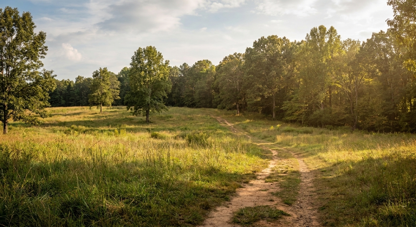
Those little arrows can mean “simple movement,” but on a battlefield map they usually mean intention. Here are patterns I look for while walking.
Envelopment and flanking moves
If you see an arrow curving around the side of a line, you are looking at a flanking attempt. On the ground, go find what made that route possible: a swale, a wood line, a farm lane, a low ridge that hides movement.
Feints and demonstrations
Sometimes an arrow drives toward an enemy position but stops short, while another arrow elsewhere does the real work. That can be a feint. On site, those positions are often places where you can imagine a lot of noise and smoke without a decisive breakthrough.
Retreats and falling back
Retreat arrows often look neat on paper. They were rarely neat in real life. When you follow a retreat line on foot, pay attention to where it crosses open ground. Those are the dangerous moments, the spots where rear guards and artillery had to buy time.
Match the map to the markers, then step off the distance
At many parks, the battlefield map is built around numbered stops. Use those stops as anchors, then fill the gaps with your own short walks.
A simple “marker to map” routine
- Read the marker first. Get the human story, the who and why.
- Find yourself on the map. Confirm you are actually standing where you think you are.
- Pick one visible feature. A ridge, a bend in the road, a creek line, an edge of woods.
- Walk 100 to 200 yards on purpose. Not to the next stop, but toward the next tactical feature.
That last step is where battlefields come alive. Even a short distance changes your angle on the terrain, and suddenly a “strong position” makes sense.
What has changed since 1775? Reading modern landscapes with old eyes
Battlefield maps are reconstructions. The field you are standing in is modern. Your job is to reconcile the two.
Three common changes that can confuse visitors
- Tree growth and reforestation. Many places that were open farmland are wooded now. If the map shows open fields but you are in trees, look for the shape of the land, not the vegetation.
- Road realignments. A modern paved road may not sit exactly on the 18th-century trace. Sometimes the old roadbed is a low trench in the woods nearby.
- Water management. Streams can be diverted, dammed, or channelized. Wet ground shown on a map might now be dry, or vice versa.
If the site offers a museum or visitor center, it is worth popping in just to see how they explain these changes. Even small exhibits can clarify why the map “does not match” what you see outside. If you are building an itinerary that includes museums plus the battlefield walk, Historic Sites is where I collect ideas.
A quick field kit for map-reading (no special gear required)
- A pencil or pen: circle where you parked, underline the phase you are in, jot a question to look up later.
- Your phone camera: photograph the map and each interpretive panel. It helps you reconstruct the day later, especially if wind and rain turn the paper to mush.
- One moment of patience: give yourself five quiet minutes at a key point. Your brain needs time to align the paper story with the real horizon line.
Common mistakes I still see on the trail
Reading the map like a sports replay
Battle maps can look clean and certain. Real battlefields were noisy, smoky, and full of partial information. Treat sharp arrows as historian shorthand, not a perfect record.
Ignoring elevation because it “looks flat”
Some of the most important rises on Revolutionary War fields are subtle. A two-story view advantage can come from a rise you barely notice until you look back downhill.
Assuming unit boxes are to scale
Those rectangles are often symbolic. Use them to understand relationship and direction, not exact frontage.
Missing the reason the battle happened there
If you can, identify the magnet that pulled the fight to that location: a road junction, a river crossing, a hill, a town, a supply route, or a chokepoint. Once you see that, the rest of the map makes more sense.
Practice exercise you can do at almost any battlefield
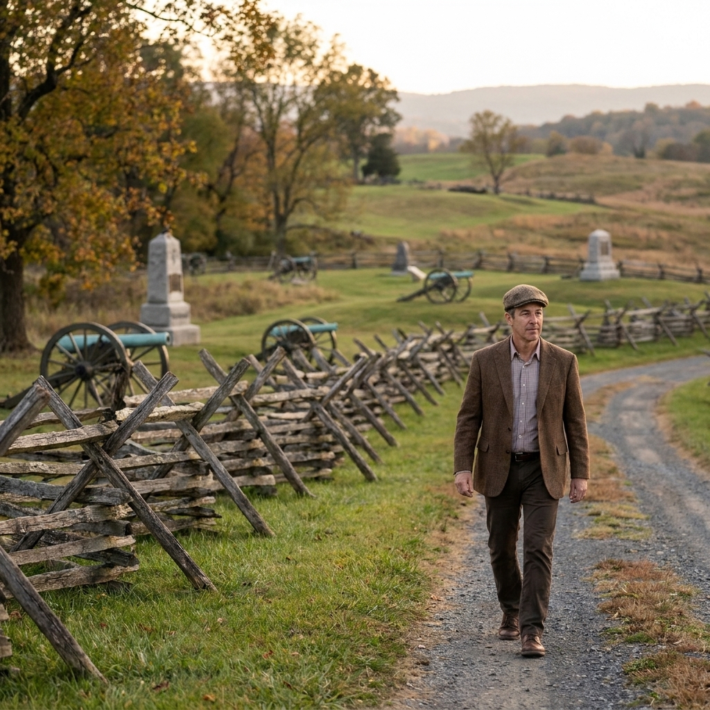
Next time you are on site, try this short exercise. It takes ten minutes and it will change how you read maps.
- Pick one key point such as an overlook, a hill, or a crossing.
- On the map, identify two approaches an attacker could use to reach it.
- Walk the easier approach for 3 to 5 minutes, then stop and look back.
- Now walk the harder approach if it is accessible, and compare what the terrain demands from you.
Even without muskets and cannon, you will feel why commanders favored certain lines of movement. Your legs become a measuring tool.
FAQ
Are Revolutionary War battlefield maps accurate?
They are usually accurate enough to teach you the shape of the fight, but they are rarely perfect down to the yard. Positions are often reconstructed from after-action reports, pension narratives, and later surveys. Treat them as the best-informed guide available, not a GPS track.
What if the battlefield is now a neighborhood or developed area?
Use the map to understand the terrain skeleton: ridges, creek lines, road corridors. Even when buildings cover a field, the land’s shape often survives in subtle ways. When access is limited, focus on a few public viewpoints and interpret from there.
How can I help my kids engage with the map?
Give them one job: “Find the creek,” “Find the hill,” or “Find where the two sides first met.” Then let them lead you to the next stop. Battlefield maps become fun when they feel like a treasure hunt with a real story payoff.
One last thought from the field
When I am standing at a quiet battlefield, I try to make the map do one thing: turn “somewhere over there” into “right here.” The moment you can point to a ridge and say, “That is why they formed up like this,” you are no longer just visiting a park. You are reading the landscape the way the soldiers had to, with urgency and consequence.
If you want to get a little deeper into the people behind those arrows, start with People. The best battlefield map in the world hits harder when you know who was walking those lines.