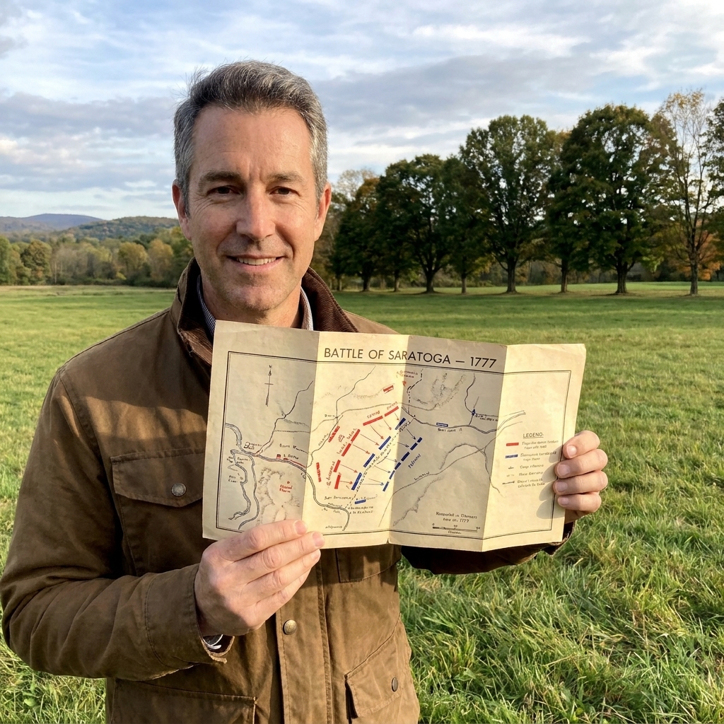

I grew up in Pennsylvania, where battlefield lines usually run through open farm country and wooded ridges. The first time I chased Francis Marion’s story across South Carolina, it felt like learning a different kind of American Revolution. The roads are narrower, the air is heavier, and the landscape itself feels like it is working for the partisans. You start to understand why Marion became the “Swamp Fox” not just as a nickname, but as a strategy.
This itinerary is built for a road trip that traces Marion’s world from the Charleston area into the lowcountry waterways and up toward the Pee Dee. Some stops are classic, museum-ready historic sites. Others are the kind of places where you pull off, stand quietly, and let the terrain explain the tactics. Think of this as a driving route with enough context to make each bend in the river and each patch of cypress mean something.
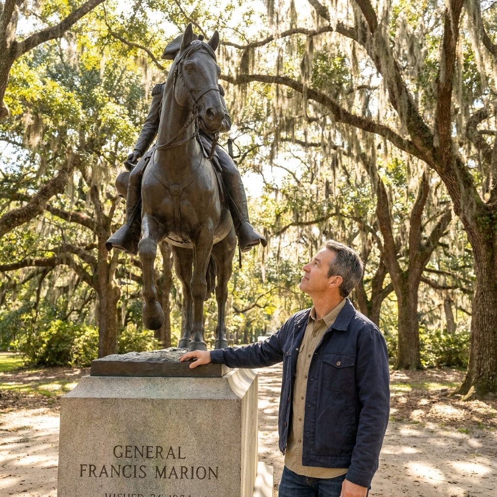
Before you go
Best time of year
Late fall through early spring is my favorite window for Marion country. You get fewer mosquitoes, lower humidity, and better visibility in swampy areas where summer foliage turns everything into a green wall. Summer trips can still work, but plan your outdoor walks early in the day and assume you will sweat through your shirt.
What to pack for swamp country
- Bug protection: repellent and long sleeves for dusk and shade.
- Footwear: shoes you do not mind getting muddy. Boardwalks help, but low spots can stay wet.
- Water and snacks: distances add up quickly once you leave the coast.
- Offline maps: cell service can be uneven in rural stretches.
If you want a general method for thinking through access, walking distances, and what “site visit time” really means, my planning approach is over on Plan a Revolutionary War site visit.
Access and safety
A lot of Marion’s war happened at ferries, bridges, causeways, and plantation roads. Modern versions of those spots are often busy, narrow, or bordered by private land. I stick to public parks, public landings, signed pull-offs, and established trails, and I do not trespass even when the map makes a tempting case. In swamp country, add the usual common sense: watch for fast weather changes, flooded low spots, slick boardwalks, and the critters that like the same shade you do.
Marion in 60 seconds
If you are new to the Southern Campaign, here is the quick timeline that makes the driving route click.
- 1780: Charleston falls, and British posts spread across the lowcountry and interior corridors.
- Summer 1780: Marion shifts into partisan warfare, striking at patrols and supply movement, especially around river crossings and interior roads.
- 1780 to 1781: Patriot partisans, including Marion, turn movement and supply into the main battlefield, hitting detachments, wagons, and outposts, then melting into swamps and pine barrens.
- Winter 1780 to 1781: Marion’s reputation hardens. He becomes linked, especially in local memory, to the Pee Dee region and the swamp refuge of Snow’s Island.
- 1781: As larger campaigns maneuver, partisan pressure helps keep British control expensive and uncertain along key waterways and roads.
The road trip at a glance
This route works well as a long weekend, and even better as a 4 to 6 day loop if you like detours, small museums, and slow drives on back roads.
- Day 1: Charleston context and coastal defenses
- Day 2: Northern approaches to Charleston (Cooper River corridor and Moncks Corner area)
- Day 3: Santee region and Francis Marion National Forest
- Day 4: Georgetown and the Pee Dee, including the Snow’s Island story (optional extension)
Loop logic
I like this as a clockwise loop: base in the Charleston area, push north and inland in stages, then finish on the coast again at Georgetown before you decide whether to extend into the Pee Dee. Over four days, expect roughly 6 to 10 total hours of driving depending on detours, where you sleep, and how many times you stop to stare at a river like it is a military diagram.
Where to sleep
- Base 1 (Days 1 to 2): Charleston area. It keeps your evenings simple and your first two mornings efficient.
- Base 2 (Days 3 to 4): Georgetown area if you are extending to the Pee Dee. If you are keeping it to three days, consider shifting inland after Day 2 so Day 3 starts closer to the forest and the Santee side.
Marion’s war was mobile and opportunistic, so there is no single “one battlefield” experience here. The goal is to stack places and landscapes until his style of fighting feels inevitable.
Day 1: Charleston for context
Why the lowcountry mattered
Before you head into the backwaters, it helps to ground yourself in what the British were trying to hold and what partisans were trying to disrupt. Charleston was the prize. The rivers and roads leading away from it were the arteries. Marion’s bands lived on those arteries, snapping supply lines, ambushing detachments, and vanishing into terrain regular troops struggled to control.
Stop 1: Old Exchange and Provost Dungeon
Time: 45 to 90 minutes. On foot: mostly indoors.
If you want one Charleston stop that connects the city to the war’s hard edge, start here. It is a clean way to frame the stakes: occupation, authority, and what it meant to resist once the British believed the coast was secure.
What to notice: As you leave, look at how compact and controlled the historic core feels. Marion’s story makes more sense when you picture British power concentrated in places like this, and Patriot resistance living in the gaps outside it.
Stop 2 (optional): Sullivan’s Island
Time: 1.5 to 3 hours. On foot: easy walking.
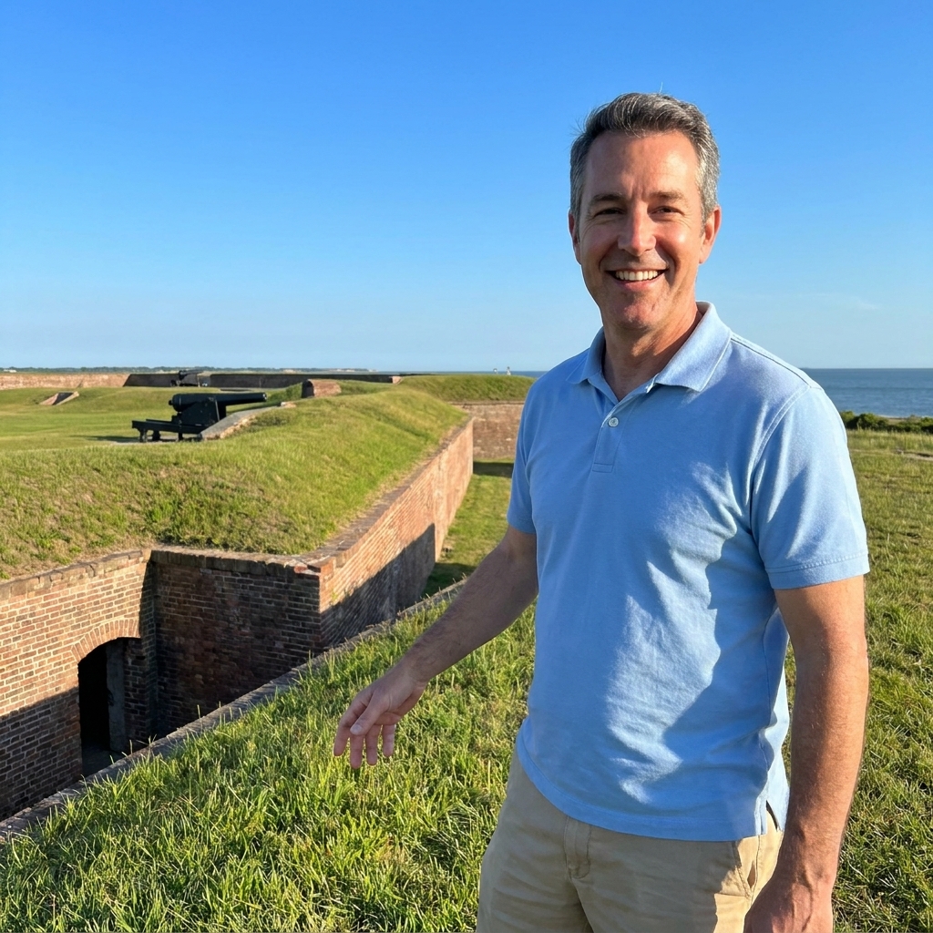
Sullivan’s Island is a great opening chapter for any South Carolina trip, even though its most famous Revolutionary moment is the 1776 defense of Charleston, earlier than Marion’s 1780 to 1781 partisan prime. It helps you feel the coastal side of the war that set the table for everything inland.
I have a full walk-through of that experience here: Palmetto logs and cannonballs at Sullivan’s Island.
Day 2: Northern approaches
Drive planning: Charleston to the Moncks Corner area is usually under an hour depending on traffic and where you start. Give yourself a half day for stops, slow roads, and the inevitable, “Wait, let me pull over and look at that crossing.”
Why this day belongs
This is the least “stand here, Marion stood here” day of the trip, and that is intentional. Think of it as learning the mechanics of Charleston’s northern approaches: a web of rivers, bridges, causeways, and road junctions where both sides tried to control movement. Once you see how those corridors work, Marion’s hit-and-fade style stops feeling like folklore and starts feeling like a practical answer to a practical problem.
Stop 1: Biggin Church Ruins
Time: 20 to 40 minutes. On foot: short walk and standing time.
The ruins are a good landscape lesson in miniature. You are in a corridor that was fought over repeatedly in 1780, especially around Moncks Corner and nearby routes tied to the Cooper River and the road network north of Charleston.
What to notice: This is where I focus on the “travel math” of the war. How many usable roads run on high ground? Where are the wet margins that funnel movement? Those are the places where a small force can force a big decision.
Stop 2: Moncks Corner area crossroads
Time: 15 to 30 minutes. On foot: minimal, mostly a driving and map stop.
I am keeping this intentionally general because modern traffic and access rules matter here. The point is not to reenact a battle in a parking lot. The point is to put yourself at a major junction north of Charleston and remember that in 1780 the area was the scene of sharp fighting and rapid swings in control.
What to notice: Look at how quickly roads aim you toward a river crossing or pinch between wet ground. In partisan country, those pinch points are invitations.
Stop 3: Cypress Gardens
Time: 1 to 2 hours. On foot: boardwalks and easy paths.
This is a modern, paid nature attraction, not a preserved Revolutionary site, and it is not pretending to be one. I use it as a controlled way to get your eyes and feet into swamp terrain without bushwhacking.
What to notice: Pay attention to how quickly visibility dies once you step off the open path. Then picture trying to pursue a small group that knows every dark corner of that world.
Stop 4: A public river crossing viewpoint
Time: 10 to 20 minutes. On foot: none, if you choose well.
Pick one safe, public place to watch a river crossing for ten minutes. The point is not the modern bridge itself. It is the bottleneck logic: in the 18th century, crossings were predictable places where wagons slowed, patrols funneled, and local knowledge mattered. Do this only where you can park legally and stay well away from traffic.
How to make the terrain do the talking
- Watch the approaches: where does a road pinch between swamp and water?
- Notice dry ground: in the lowcountry, a slight rise can decide whether you can move at all.
- Think in escape routes: where can a small force disappear before the response arrives?
For the nuts-and-bolts of using maps on site, I wrote up my approach here: How to read Revolutionary War battlefield maps on site.
Day 3: Santee and the forest
Drive planning: Moncks Corner area to the Santee side of the lowcountry is often about 1 to 2 hours depending on your exact stops and which roads you take. Build in time for slow two-lane stretches.
Why this feels like the Swamp Fox
If you want to feel the legend forming, this is the day. The Santee region is where the terrain begins to dictate what is possible. Swamps, blackwater tributaries, and tangled woods are not background scenery. They are cover, concealment, and defense.
Marion’s advantage was usually not that he had more men, more guns, or better supplies. He had familiarity, support networks, and a willingness to move through miserable ground that conventional units found exhausting and disorienting.
Stop 1: Francis Marion National Forest
Time: 1 to 3 hours. On foot: choose a short trail or two.
For a Marion-themed trip, this is the most satisfying “named” stop you can make in the lowcountry. Pick a short trail or a quick walk near a swamp edge and pay attention to sightlines. You are not here for a parade ground. You are here for concealment and movement.
What to notice: Where does the ground stay dry? Where does it turn into a sponge? In partisan warfare, that line is often the difference between pursuit and escape.
Stop 2: Hampton Plantation State Historic Site
Time: 45 to 90 minutes. On foot: easy walking, mostly interpretive stops.
This is best approached as lowcountry plantation context, not as a primary Marion incident site. Plantation landscapes, river transport, and the brutal labor system that made lowcountry wealth possible sit behind almost every Southern Campaign story, even when the fighting itself happens out on a causeway or at a ferry.
What to notice: The distances. The waterways. The sense that the economy ran on movement. Then remember that partisan war is, in many ways, the art of interrupting movement.
Stop 3: A Santee River landing or boardwalk walk
Time: 30 to 60 minutes. On foot: short, often damp.
Choose a clearly public access point for a short stroll. In this country, a 30-minute walk can teach you more about movement than an hour of reading. You will feel why water and woods can swallow a force that knows where it is going.
What to notice: Listen and look for how sound carries, how quickly you lose line of sight, and how few choices there are for crossing or turning around. Those constraints are the story.

Day 4: Georgetown and the Pee Dee
Drive planning: From the forest and Santee side to Georgetown is often 1 to 2 hours depending on where you start. From Georgetown toward the Pee Dee country, add more time than the map suggests. The roads get quieter, and stops come more frequently.
Why this is the payoff day
Adding Georgetown and the Pee Dee region helps you understand the wider web Marion operated inside. This area ties together rivers, rice culture landscapes, and coastal access. It is also where Marion’s story most strongly concentrates in popular memory, especially around the Snow’s Island refuge on the Pee Dee.
Stop 1: Rice Museum (Georgetown)
Time: 45 to 90 minutes. On foot: mostly indoors.
This is a context stop, not a Marion battlefield. Start with the waterfront town perspective. The museum is a practical way to connect river travel, coastal supply, and the lowcountry economy to the war. It also helps you keep the Revolutionary story anchored to the place as it really was, not just as we wish it had been.
What to notice: Rivers are not scenery here. They are infrastructure. Once you think that way, you start spotting the kinds of targets partisans favored.
Stop 2: Hopsewee Plantation
Time: 1 to 2 hours. On foot: easy walking plus guided interpretation.
This is another strong “sense of place” stop rather than a Marion action site. You are looking at the kind of landscape and wealth the war disrupted, defended, raided, and exploited, depending on who had the upper hand that week.
What to notice: How everything is built around access to water and workable ground. That is the same logic you will see again at crossings and landings.
Stop 3: The Snow’s Island story (from public access only)
Time: 30 to 60 minutes. On foot: only if conditions are clearly safe and access is clearly public.
Snow’s Island is one of those places that can be more powerful in explanation than in a neat, signed overlook. Access and conditions vary, and much of the surrounding landscape is not the kind of place you should wander into casually. If you can find a safe, public viewpoint on the Pee Dee or at an established landing, use it to picture what a swamp refuge meant: not comfort, but protection, concealment, and a hard-to-punish base for a small force.
What to notice: Look for high ground versus wet ground, and for the hidden lines of approach that would let a small group slip away. Refuge sites are less about one dramatic view and more about how hard they are to punish.
What to watch for as you drive
- Rivers as roads: in the 18th century, waterways were highways. Control the crossing and you influence everything nearby.
- Rice and timber landscapes: they help you picture the stakes and the labor systems that underpinned the lowcountry.
- Town geography: ports tell you what the British valued and what partisans threatened by making supply unreliable.
How Marion fought
I find it helpful to keep a simple checklist in my head. If you use it while driving, the war starts to appear around you.
- Ambush logic: bends in roads, narrow causeways, and spots where a creek forces a slowdown.
- Escape routes: swamps and side paths that let a force dissolve before a counterattack arrives.
- Intelligence and local aid: you rarely see this on the ground, but it explains why some places mattered repeatedly.
- Pressure, not occupation: the goal was often to make British control expensive and uncertain, not to hold ground permanently.
In Marion country, the landscape is not just where history happened. It is why it happened the way it did.
Make it family-friendly
If you are traveling with kids, the lowcountry can be a huge win because the scenery does some of the work. Boardwalks, short nature trails, and waterfront stops break up the day while still keeping the story intact.
- Keep walks short: plan multiple 20 to 40 minute stops instead of one long march.
- Turn it into a spotting game: “Where would you hide 30 men?” “Where would a wagon have to slow down?”
- Build in air conditioning: museums and visitor centers can be morale savers in warm months.
If you want more general ideas for mixing battlefield travel with family pacing, see Top 5 Revolutionary War battlefields to visit with kids. Different geography, same planning principles.
Pair it with a big battlefield
One of the easiest mistakes with Francis Marion is to treat him like a lone legend operating on his own map. In reality, his work sits inside the broader Southern Campaign where major battles and partisan warfare fed into each other. As you plan, you might pair this trip with a bigger set-piece battlefield to round out the experience.
Cowpens: a masterclass in planning and battlefield geometry. See The Battle of Cowpens.
Kings Mountain: a pivotal backcountry fight that shows how fiercely local the war could be. See Battle of Kings Mountain.
Practical tips
Do not over-schedule
Swamp and river country is slow travel. You will stop more than you think, whether it is for photos, traffic, sudden rain, or because a two-lane road turns into a scenic detour you cannot resist.
Expect weather to change the plan
Heavy rain can flood low spots and make short walks unpleasant fast. If a trail looks questionable, skip it and move to your next stop. Marion would understand.
Use museums to fill gaps
Not every guerrilla action leaves a clean “battlefield park” footprint. When the landscape is the main artifact, good exhibits and local interpretation help connect the dots. On this route, the Old Exchange in Charleston and the Rice Museum in Georgetown do that job well, and plantation sites can provide the social and economic context the swamps alone cannot.
FAQ
How many days do I need?
Three days can give you a satisfying Charleston to lowcountry loop with time for swamps and river crossings. Four days is better if you want Georgetown and a Pee Dee extension that actually breathes.
Is this a good first Revolutionary War trip?
Yes, especially if you enjoy landscape-driven history. Just know it is different from places like Saratoga or Yorktown where you can stand on a clearly interpreted field and read the battle like a book.
Will I see obvious battlefield lines?
Sometimes, but often the “aha” moment is terrain, not earthworks. In Marion’s world, the story is in chokepoints, crossings, and the cover that let a small force strike and vanish.
Keep exploring
If Marion’s story has you hooked, you will probably enjoy branching out into other Revolutionary War figures and travel routes. I keep a running collection of those guides here: People. And if you want the broader planning toolkit, start with Historic Sites.