
I grew up in Pennsylvania, and some of my earliest history “aha” moments had nothing to do with muskets or famous speeches. They happened on ordinary roads. A bend that suddenly made sense. A creek crossing where the ground still pinches down to the easiest ford. A mile marker half swallowed by grass, stubbornly refusing to move even as everything around it modernized.
In the Revolutionary era, the East Coast ran on dirt roads, ferries, bridges that washed out, and stagecoaches that never met a timetable they could not ignore. And yet, if you know what to look for, pieces of that travel network are still very much alive. You can drive sections of old post roads, trace causeways across marshes, and stand at ferry landings where travelers waited with horses, wagons, and mailbags for a safe crossing.

What a colonial route means
Before we start chasing names like “Post Road” or “King’s Highway,” it helps to know what you are actually trying to trace. Colonial travel routes were usually not engineered the way we expect roads to be today. They were practical paths that followed terrain and economics, and they were maintained unevenly, usually by local communities and for local reasons.
- Post roads were designated mail routes. They were often better documented than other roads, and sometimes better maintained, which is why they can be easier to follow today, even when the surface and ownership have changed.
- Stage routes connected towns where travelers could reliably find stables, meals, and a bed. That usually meant a chain of taverns, not a single “highway.”
- Ferry routes were as important as roads. Rivers were barriers, and a dependable ferry could make or break a town’s fortunes.
- Turnpikes and improvements came later. The big turnpike boom hit from the 1790s into the early 1800s, and many causeways were improved, straightened, or rebuilt then, even though plenty of marsh crossings existed earlier in rougher forms.
One of my favorite ways to think about this is simple: if you are on a road that feels oddly narrow, curvy, and town-to-town, there is a decent chance you are feeling the ghost of an older route under the asphalt.
The main corridor: Post Roads and King’s Highway
If you want one spine of colonial travel to build a road trip around, start with the routes that linked the big coastal cities. Portions of what’s commonly called the Boston Post Road form a recognizable New England-to-New York City corridor. South of New York, the travel story continues, but the labels shift. Depending on colony and decade you will see different “post road” lines and different versions of the older umbrella term King’s Highway. In other words, it is best to think in terms of a connected post-road corridor, not one perfectly named, uninterrupted road from Boston to Baltimore.
Where it still feels colonial
You are not looking for one uninterrupted “original” road. You are looking for places where the alignment still makes sense at human scale, especially where old town centers survived.
- Town greens and meetinghouse centers: post riders and stagecoaches aimed for places with services, stables, and official notices.
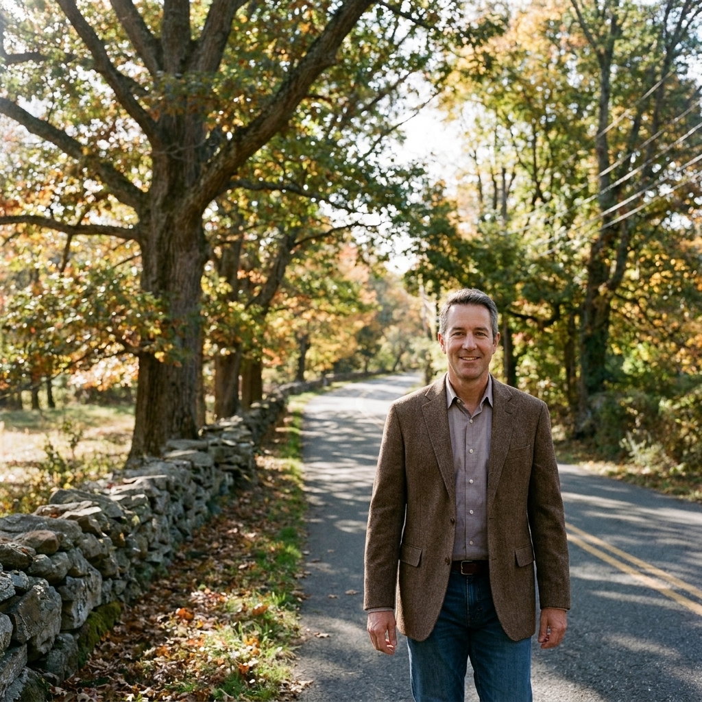
- Stone walls, tight curves, and sudden pinch points: those are often terrain-driven, older decisions.
- Old tavern neighborhoods: even when the original building is gone, the road geometry often keeps the memory.
If you want to pair this kind of driving with on-the-ground Revolutionary context, I like combining it with walks that keep you in historic street grids, like Beyond Independence Hall: Hidden Revolutionary Philadelphia Walk once you hit Pennsylvania.
Ferry crossings that shaped travel
Modern interstates have trained us to ignore rivers. In the 1700s, rivers were the trip. They slowed you down, forced you to wait, and funneled travelers into specific landings.
To trace surviving colonial travel, I always add at least one stop at a historic crossing site to my itinerary, even when the original boat is long gone. Here is how to do it in a way that feels grounded in the landscape and not just like you checked a box.
How to find a ferry landing today
- Look for a “Ferry” place-name on modern maps: Ferry Road, Old Ferry Road, Ferry Lane, Ferry Street.
- Check both banks: the landing was a pair, and towns often grew around one side more than the other.
- Seek the pinch: landings favor narrow points, firm banks, and approaches that wagons could handle.
- Follow the oldest road into town: it often aims straight at where the boat used to run.
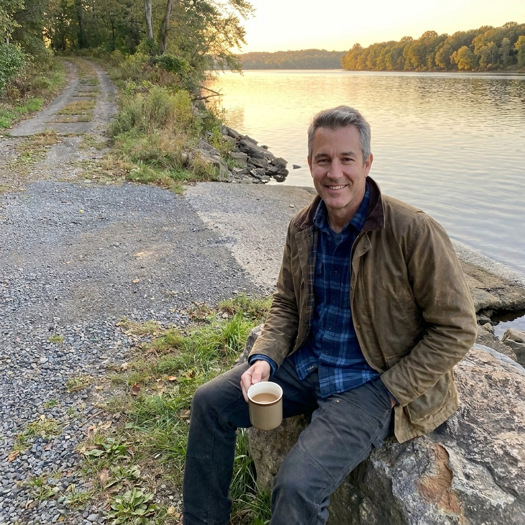
Even when the colonial ferry is gone, you can often stand where the waiting happened: a little flat by the water, a shallow slope, maybe an old road grade dropping down through trees.
Crossing stories worth anchoring
Some ferry sites are famous because armies used them. Others are famous because everyone used them: merchants, post riders, enslaved people seeking routes and information, families heading to court days or market days.
If your trip planning leans military, you can anchor the concept with a river crossing story like Following Washington’s Crossing: Trenton and Princeton. Even if you do not stand at the exact launch point, that article helps you think like an 18th-century traveler dealing with cold water, weather, and timing.
Read the road like a map collector
I collect old maps because they teach you what modern GPS cannot: why a road goes where it goes. When you are tracing colonial routes, you do not need a rare atlas to get value out of that mindset. You just need to look for repeating clues.
Clues from the driver’s seat
- Roads that aim for gaps in ridges and hills: colonial travel favored the easiest passage, not the straightest line.
- Old town cores that sit slightly off the highway: the bypass is modern; the original route is usually the slower street through town.
- Bridges that look too small for the traffic: sometimes a later replacement located at an older ford, ferry approach, or long-used crossing point.
- Sudden jogs at property lines: these can reflect older boundary negotiations, later re-surveys, or simply a road that evolved a few feet at a time.
Clues on foot
- Sunken lanes: a roadbed worn down by hooves, wagon wheels, and water runoff over generations.
- Old milestones: sometimes reset or relocated, but still telling you what routes mattered.
- Causeways: slightly raised roadbeds across wetlands, often straighter than the surrounding lanes.
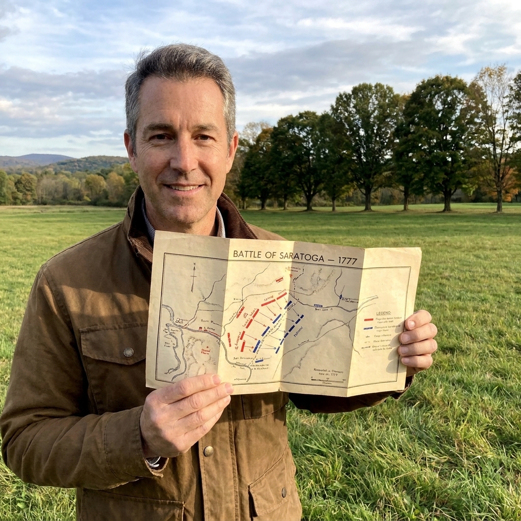
If you want to sharpen the skill of reading terrain and routes at a site, my best companion piece on the site is How to Read Revolutionary War Battlefield Maps On Site. Even though it is battlefield-focused, the same map-to-ground thinking applies beautifully to travel corridors.
Taverns and the stagecoach rhythm
If roads were the bones, taverns were the joints. Stagecoaches needed regular stops for horses, meals, repairs, and gossip, and that rhythm still shows up in the spacing of old towns.
When I trace a stage route, I plan it like an 18th-century traveler would. I string together stops where a person in motion could actually function.
What to look for
- Old tavern buildings (or their footprints) near crossroads and bridges.
- Wide shoulders or odd pull-offs in old village centers, sometimes the remnant of a coach turning area.
- Market squares: where travelers could buy, trade, and hear news.
- Courthouse towns: court days pulled people in from miles around.
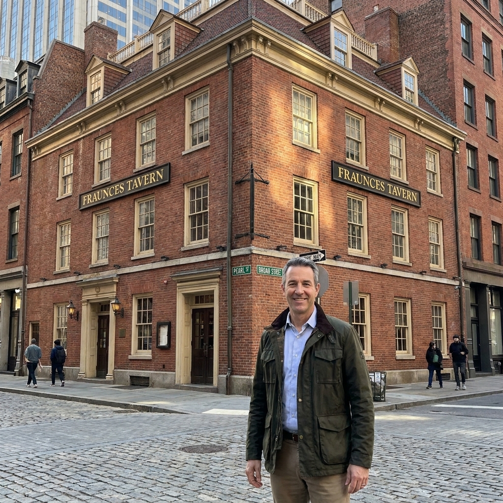
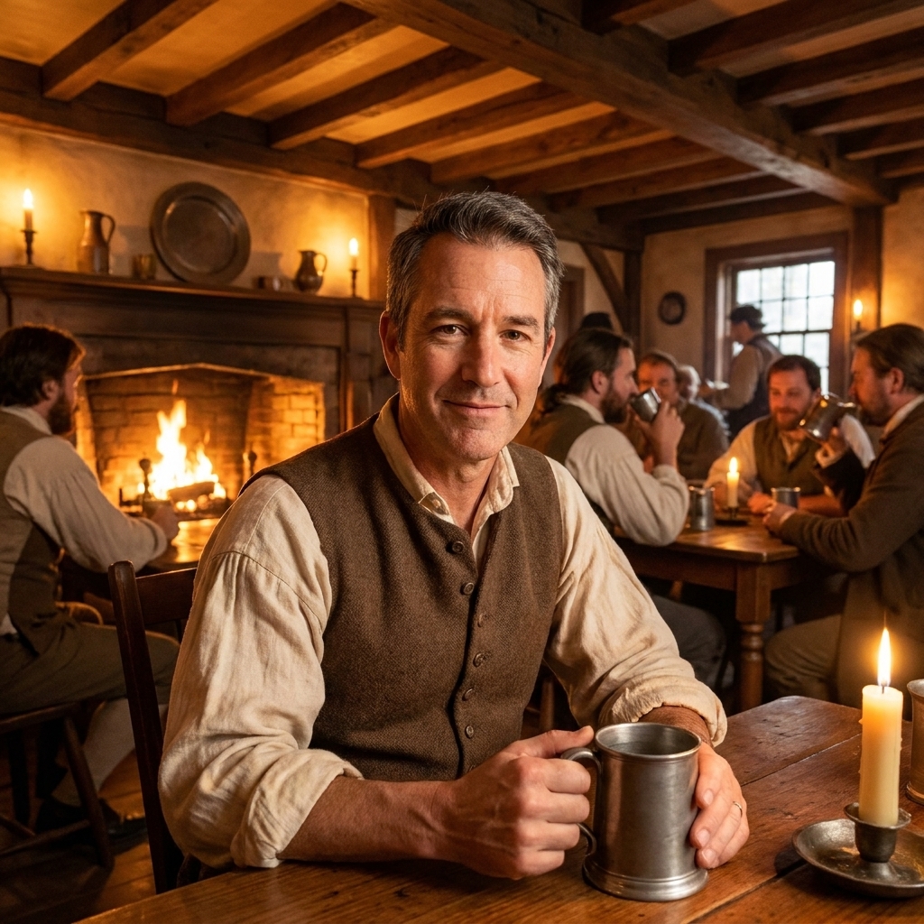
For a fun detour that keeps you in the travel mindset, I have a soft spot for living tavern history. If your route takes you near one of these, it is worth building in a meal stop: Grab a Pint in History: 7 Revolutionary War Taverns You Can Still Visit.
A quick reality check on speed
Stagecoaches were fast for their time, but not fast by ours. Weather and road conditions mattered. A “good road” could turn into axle-deep mud. A ferry could be down. A bridge could be gone.
When you plan your own driving day, I recommend doing the opposite of modern road tripping: choose a shorter distance and add more stops. The goal is not to cover miles. The goal is to feel the landscape and understand why the route existed.
Route ideas you can drive
These are not rigid itineraries, because the fun here is weaving in local discoveries. Think of them as ready-to-drive concepts that put you on the right kind of roads, near the right kind of crossings.
1) Boston to Rhode Island
Start with older roads that keep dropping you into preserved centers. Look for town greens, old meetinghouses, and streets where you can imagine a post rider picking up speed between villages.
If you want a concrete anchor for your map, look at how the old road threads through places like Dedham and Providence, then compare that to how the modern highways avoid town centers. The lesson is the same almost everywhere: the older line goes where people actually stopped.
2) Connecticut shoreline
Along the shore you constantly run into the old colonial problem: water everywhere. Even when you stay inland, the route logic is shaped by what can be crossed reliably. This is prime territory for hunting “Old Ferry Road” style place-names and checking where the land narrows.
For named targets, keep an eye out for historic centers and harbors around New London and New Haven. They are the kind of places where you can read the relationship between roads, wharves, and crossings without needing to be an expert.
3) New York City region
New York compresses travel into a few corridors. Even with modern development, you can still feel how movement funnels toward certain crossings and approaches.
If you want to add a Revolutionary context day while you are in the region, pair it with Tracking the Battle of Brooklyn in Modern New York, which does a great job of making the city’s terrain decisions visible again. For travel history, I also like using Harlem and Kingsbridge as mental placeholders, because they remind you that Manhattan has always been about controlled north-south movement and limited crossings.
4) Philadelphia to New Jersey
This is where I always hear my childhood self, staring at a historical marker and trying to imagine wagons on a road that now has traffic lights. Between the Delaware River crossings, old turnpike alignments, and town centers that still face their original approaches, you can stitch together an excellent movement day.
For an easy, real-world starting point, pick a public riverfront on either bank near a historic crossing area and walk down to the water. If you can see a natural landing slope and a road that still seems to aim at it, you are doing the exercise exactly right.
Practical tips and etiquette
Colonial route hunting is rewarding, but it can also get messy fast if you expect clean answers. Here is what has kept me sane over the years.
- Expect fragmentation. The old route might survive as three separate local roads with a modern highway cutting between them.
- Prioritize feel over perfection. If you are on an older town street that clearly predates the car, you are doing it right.
- Use daylight. The best clues are subtle: road grade, stonework, old alignments, and water approaches.
- Build in walking time. Even a 10-minute stroll at a bridge or a riverbank tells you more than driving past it.
- Respect private property. Many old roadbeds and landings are on or behind private land. Stick to public rights-of-way, parks, and clearly marked access points.
- Be careful on narrow shoulders. Older roads often have tight lanes, blind curves, and no safe pull-offs. If you stop, do it where parking is clearly legal and you are not forcing other drivers into the oncoming lane.
- Park like a guest. Village centers can be tight. Use designated lots when you can, and do not block driveways, loading zones, or church access.
- Remember that names can be commemorative. An “Old Post Road” sign can mark a genuinely old alignment, or it can be a later name honoring the idea. Let the terrain and town layout be your judge.
If you are planning a multi-day trip with lots of small stops, my general road trip approach is laid out here: Plan a Revolutionary War Site Visit.
FAQ
Are any original colonial roads left?
Both, depending on what you mean by “original.” Many routes are paved now, but the alignment can be centuries old. In some places you can still find short unpaved segments, sunken lanes, or preserved approaches near historic sites and parks. The biggest survivor is often the shape of the road, not the surface.
How do I tell an old post road from a random back road?
Look for patterns: town-to-town connections, older centers lining the road, and a route that makes sense for services like taverns, mills, ferries, and courthouses. Post roads also tend to appear in older place-names like “Post Road,” “Old Post Road,” or “King’s Highway,” though names can be misleading.
What is the easiest colonial transportation day for families?
Pick one river crossing area and one preserved town center, then keep the driving short. Add a tavern or museum stop for lunch and a walk. If you want family-friendly battlefield tie-ins that keep the day interactive, you might also like Top 5 Revolutionary War Battlefields to Visit With Kids.
Do I need antique maps?
No. They are fun, but not required. What matters most is slowing down and paying attention to terrain, water crossings, and where older town centers sit in relation to modern highways.