
I grew up in Pennsylvania chasing historical markers the way other kids chased baseball cards. Somewhere along the way I learned a simple truth: you can read about the American Revolution for a lifetime, but the story changes when you stand where it happened.
Few road trips deliver that feeling like the Knox Trail, the commemorative route that follows Henry Knox’s remarkable winter mission in 1775–1776, hauling captured artillery from the Fort Ticonderoga region to the Continental Army around Boston. It was cold, muddy, improvised, and stubborn. It also set up one of the clearest cause-and-effect moments you can still trace on modern roads: the arrival of heavy guns that made Dorchester Heights possible and helped push the British to evacuate Boston.
This guide shows you how to follow the Knox Trail markers by car, how to break the trip into manageable segments, and where to stop so the history does not blur past the windshield.
What the Knox Trail is
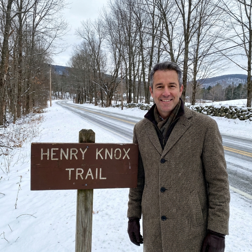
The “Knox Trail” is a modern, signposted driving route that generally tracks Henry Knox’s “Noble Train of Artillery,” the movement of artillery pieces and military stores taken from Fort Ticonderoga and Crown Point and brought toward Boston in the winter of 1775–1776.
You will not find a single, perfectly continuous historic road. Eighteenth-century roads wandered, disappeared, and changed names. The original movement also mixed water travel and overland hauling: Lake George and river corridors mattered as much as rutted roads. What you will find are hundreds of local and state markers placed along a logical corridor that follows the story town by town. In practice, the trail is a chain of small “aha” moments: a sign by a river crossing, a marker near an old village green, a hill that makes you whisper, “They hauled cannon up that?”
If you want context for the destination end of the journey, pair this trip with my guide to Boston-area siege sites: Conquering Bunker Hill: Visitors Guide to Siege of Boston Sites.
The story fast
In late 1775, the American army had Boston surrounded but lacked the heavy artillery to truly threaten British positions. Henry Knox, a former bookseller with a gift for logistics and persuasion, proposed retrieving guns from the Fort Ticonderoga area. The artillery and stores were moved in stages, using lakes and then sleds and wagons, pushed forward by manpower, oxen, and raw determination through early winter conditions.
By late January 1776, much of the artillery had reached the army’s lines around Cambridge. In early March 1776, Washington fortified Dorchester Heights with artillery that threatened the British position and shipping in Boston Harbor. The British evacuated soon after.
Planning your Knox Trail road trip
Best time to drive
- Late spring through fall: easiest roads, longest daylight, and more sites open.
- Winter: atmospheric and memorable, but you trade romance for road conditions and shorter daylight. If you do it in winter, build in extra time and keep expectations flexible.
How long it takes
You can sample the story in a long weekend, or you can savor it over 4 to 7 days.
- Long weekend sampler (2 to 3 days): Ticonderoga and Lake George area to the Berkshires, then into the Boston area.
- Full drive (4 to 7 days): adds time for village centers, river crossings, and the kind of slow wandering that makes this route sing.
How to navigate without frustration
My best advice is to drive this trail like a scavenger hunt, not a GPS mandate.
- Expect gaps: some towns have multiple markers, others have none.
- Favor back roads when you can: the story makes more sense at 35 mph than 70.
- Use markers as anchors: when you spot one, pull off safely, read it, and take 60 seconds to picture the scene.
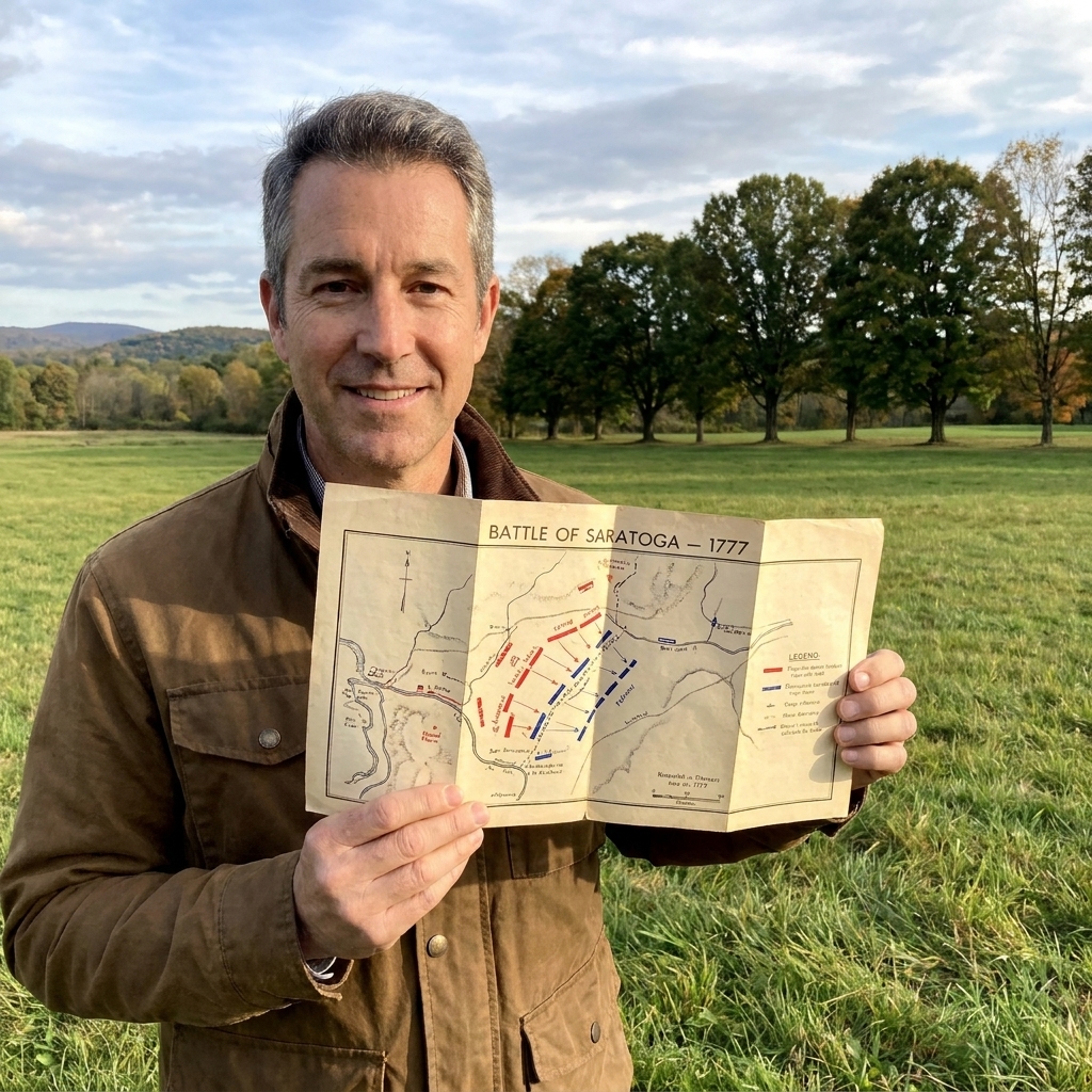
- Bring a paper map: I collect antique maps, and even a modern paper road map helps you understand rivers and ridgelines better than a phone screen.
A quick reality check: some markers are on busy roads with narrow shoulders. If there is no safe place to stop, keep moving. There will be another marker, and the best stops are the ones that let you get fully off the road.
If you want to sharpen your on-site map instincts before you go, this will help: How to Read Revolutionary War Battlefield Maps on Site.
Itinerary in 5 chapters
Rather than pretend there is one exact road Knox followed, I like to organize the trip by the natural rhythm of the journey: forts, lake country, river crossings, upland climbs, and the final push into the siege lines.
Chapter 1: Ticonderoga and Lake George
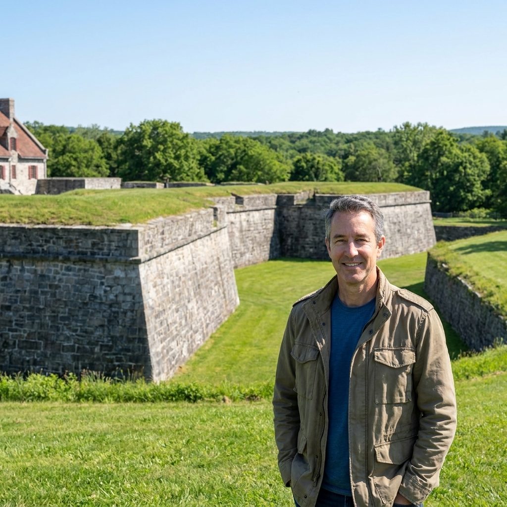
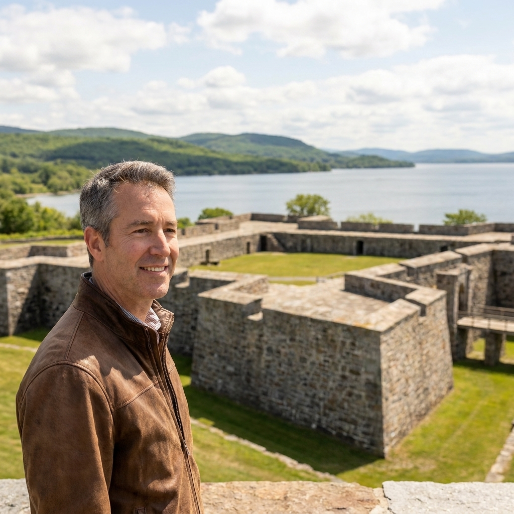
Start where the iron began. Fort Ticonderoga is one of those places that immediately resets your sense of scale. You see the fort’s position and understand why everyone wanted it. This is where captured artillery was gathered, inventoried, and prepared for movement.
- What to look for: interpretation about the fort’s guns, the surrounding waterways, and how difficult it is to move heavy iron out of this landscape.
- Make it vivid: stand quietly and imagine the clank of iron and the problem Knox had to solve, which was not “find cannons” but “move them in winter without losing them to water, mud, or gravity.”
Helpful hub towns to think in: Ticonderoga, NY and Lake George, NY. Even if you do not hit every marker up here, anchoring yourself to these names helps the rest of the corridor make sense.
Chapter 2: Hudson corridor crossings
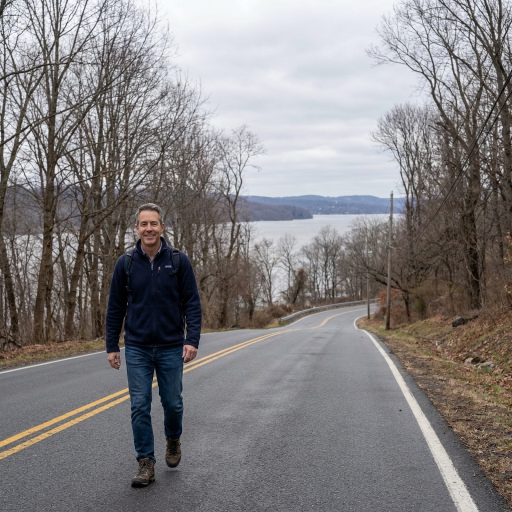
As you work southward, pay attention to the landscape. Rivers are the plot. When the trail leans toward the Hudson, you are following the same logic Knox followed: valley corridors are the only sane way to move heavy material through rugged country, and frozen water could be either a hazard or a temporary highway.
- How to stop: look for riverside parks, bridge approaches with real pull-offs, and town centers where a marker might be placed somewhere walkable.
- How to read the terrain: when you see steep side hills squeezing the road, remind yourself that an artillery sled does not care about your schedule.
Helpful hub towns to think in: Fort Edward, NY and Hudson/Albany-area river towns. You do not have to chase names perfectly to follow the story, but you do want to keep the water route in your head.
Chapter 3: Berkshires climbs

This is the stretch that always slows me down. The Berkshires are beautiful, but they are also a stern reminder that “overland” in 1775 meant ruts, ice, and grades that make modern drivers downshift. For Knox, it meant teams of oxen straining at harness, men bracing sled runners, and constant risk of losing a gun to a bad slope or a broken bridge.
- Do not rush: build in extra time, especially if you are hunting for markers along smaller state routes.
- Best kind of stop: town greens and small cemeteries often sit near older road alignments and make good quick history breaks.
Helpful hub towns to think in: Great Barrington, MA, Lenox, MA, and Westfield, MA. Treat these as ladder rungs across the hills, not as a single, must-follow line.
Chapter 4: Worcester County approach

As you roll closer to Boston, the trail begins to feel less like wilderness logistics and more like a chain of communities. This is where the story becomes personal. The train depended on local help, supplies, and people willing to keep working when the novelty wore off and winter got mean.
This is also a great place to add other Revolution stops if you have time. If your trip turns into a broader Massachusetts loop, pair the Knox story with the opening shots of 1775: Following the Minutemen on the Lexington and Concord Battle Road.
Helpful hub towns to think in: Worcester, MA and the towns between Worcester and the Boston area. In this stretch, I plan my days around walkable downtowns where parking is easy and markers are not competing with traffic.
Chapter 5: Cambridge and Dorchester Heights
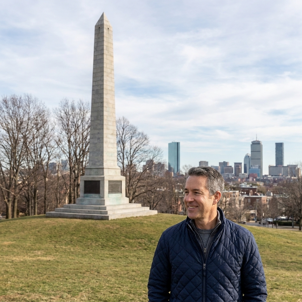
The emotional payoff of this road trip is reaching the ground where the artillery mattered. The guns were brought into the Continental Army’s lines around Cambridge first. Then, when Washington moved to seize Dorchester Heights in early March 1776, the artillery helped make the position stick.
Once you visit Dorchester Heights and related Siege of Boston sites, the Knox Trail stops being a quirky feat of hauling and becomes what it really was: logistics in service of strategy.
For a focused Boston-area day, use this companion guide: Conquering Bunker Hill: Visitors Guide to Siege of Boston Sites.
What to look for at markers
Many markers are small, and a lot of them sit where it made sense to place a sign, not where it is comfortable to stop. When you do find one, I use a simple checklist to make each stop feel worthwhile.
- Water nearby: rivers, creeks, and wetlands were constant enemies and occasional allies in winter.
- Road grade: if the marker is on a hill, stand facing the slope and imagine a gun sliding backward.
- Old building stock: eighteenth and early nineteenth-century houses often cluster along older alignments.
- Crossroads: intersections were natural gathering points for teams, supplies, and repairs.
If you are traveling with kids, turn it into a game: “Find the steepest hill,” “Find the narrowest bridge,” “Find the iciest-looking creek.” It is an easy way to turn logistics into something they can feel.
More ideas for family-friendly battlefield and history travel are here: Top 5 Revolutionary War Battlefields to Visit With Kids.
Practical tips
Make the drive comfortable
- Use daylight: many markers are easier to spot in good light, especially on tree-lined roads.
- Build in pull-off time: if you are the passenger, watch for safe turnarounds and real shoulder space.
- Layer your stops: mix quick marker reads with longer visits to forts, town centers, and small museums.
Food and lodging
My favorite way to do a heritage drive is to stay in older town centers when possible, even if the hotel is not right off the highway. Walkable main streets give you the feel of the region, and they usually put you near cemeteries, greens, and historic churches that tell the local side of the story.
Seasonal access
- Hours and access at major sites can change by season. If Fort Ticonderoga is central to your plan, confirm current hours before you build a day around it.
- In winter and early spring, assume some small pull-offs will be snowed in or muddy. The best plan is to have a flexible list of stops, not a rigid checklist.
Travel respectfully
- Many markers sit near private property. Read from the roadside unless signage clearly welcomes you in.
- Cemeteries are wonderful history stops, but they are also sacred spaces. Keep voices low and step carefully.
- Leave no trace. A road trip like this works best when it is easy for towns to keep supporting the trail.
FAQ
Can I drive the Knox Trail as one mapped route?
You can drive the story as a route, but it will not feel like one continuous tour road with a single start-to-finish line. Think of it as a corridor you move through, using markers and a handful of hub towns as your structure.
Is it worth it if I cannot visit in winter?
Yes. Winter adds atmosphere, but the landscape tells the tale year-round. In warmer months you trade snowdrifts for easier pull-offs, longer days, and more open historic sites.
Where should I start on the north end?
Fort Ticonderoga is the natural place to begin because it makes the mission tangible. Once you have seen the fort and understood why those guns mattered, every marker afterward becomes part of one long sentence.
What should I pair with the Knox Trail near Boston?
Anything connected to the Siege of Boston fits, especially Dorchester Heights and nearby sites that explain why artillery on the heights changed everything. Start here: Conquering Bunker Hill: Visitors Guide to Siege of Boston Sites.
One last way to make it real
On your first marker stop, do this: get out, stand still, and listen for a full minute. Cars pass, wind moves through trees, maybe you hear a creek. Then imagine replacing the soundscape with oxen, shouted instructions, iron on wood, and the low panic of a runaway load on an icy grade.
The Knox Trail is not just a line on a map. It is the Revolution in work clothes. And it is one of the best historical drives in the Northeast because it rewards you for slowing down and letting the land explain the story.
When you are ready to plan the rest of your trip like a field guide instead of a checklist, this is my go-to starting point: Plan a Revolutionary War Site Visit.