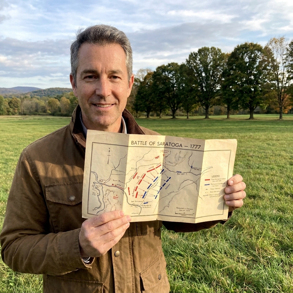

I grew up in Pennsylvania, where Revolutionary War history is practically part of the landscape. But the first time I walked Savannah’s siege sites, I was reminded that the Revolution was never just a northern story. Here, in October 1779, French and American troops tried to wrench Georgia’s key port from the British. They failed, and the ground you can still walk today is where the attack broke apart in smoke, confusion, and brutal close-range fire.
This guide is built for what I always want on a site visit: a simple plan for where to park, what to look for, how to make sense of the monuments, and how to spot defensive shapes that do not always announce themselves. Savannah is an urban battlefield, so we are focusing on two anchors where the story is easiest to access today: Battlefield Memorial Park (home to the reconstructed Spring Hill Redoubt) and a short drive, or a longer walk, into the Historic District to see how Savannah remembers the siege through monuments, including sites connected to Haitian volunteers and Casimir Pulaski.
What happened here
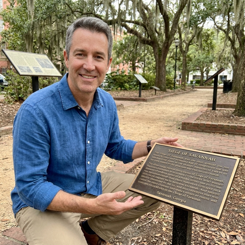
By 1779, the British held Savannah and had turned it into a fortified hub for their Southern strategy. A combined French and American force arrived to retake the city, opened a formal siege, and began edging closer with trenches and batteries. When time and pressure mounted, the allies chose a direct assault on October 9, 1779.
The climactic attack slammed into a well-prepared defensive system of earthen works, ditches, and artillery. The assault failed at terrible cost. Depending on the accounting, allied losses are commonly cited in the roughly 700 to 900 range (often rolled together as killed, wounded, and in some summaries missing or captured). British and Loyalist losses are typically given as far lower, often cited around roughly 100 to 200. It was one of the war’s costliest failed assaults.
One name you will see again and again in Savannah’s memory of the siege is Casimir Pulaski, who was badly wounded during the assault and died shortly afterward.
If you want a broader way to approach sites like this, I recommend skimming my field-friendly guide to reading ground and positions in real time: How to Read Revolutionary War Battlefield Maps on Site.
Know before you go
Official place names
One key detail for Savannah is getting your map pins right. Battlefield Memorial Park is the official park name tied to the reconstructed Spring Hill Redoubt site (on the west side of the Historic District corridor). Emmet Park is real and worth visiting for other reasons, but it is not the Spring Hill Redoubt area, and it is not a practical anchor for a Spring Hill-focused visit.
Parking
- Closest strategy: Treat this like city parking. Look for metered street parking around Battlefield Memorial Park and along nearby streets, then build your visit from there.
- Plan B: If street parking is tight, use a public garage in the general Historic District area and accept a longer walk. Savannah rewards walking, but it also means you will be crossing active streets.
Time and distance
- Quick visit: 30 to 45 minutes for Battlefield Memorial Park and the Spring Hill Redoubt interpretation.
- Comfortable visit: 60 to 90 minutes if you add one or two monument stops in the Historic District.
- Walking reality: Battlefield Memorial Park and Emmet Park are over a mile apart. If you choose to connect them on foot, expect roughly a 20 to 30 minute walk each way depending on crossings, heat, and how often you stop.
What to bring
- Comfortable walking shoes: Sidewalks, grass, curb cuts, and the occasional uneven edge.
- Water and sun protection: Coastal Georgia humidity is sneaky, and shade does not always line up with where you want to stop and read.
- Bug awareness: In warmer months, gnats and mosquitoes can show up fast in shaded green spaces.
- Storm mindset: Savannah weather can change quickly. Sudden rain is not unusual. If thunder rolls in, move off open areas and wait it out.
Accessibility
Battlefield Memorial Park is generally sidewalk-accessible and works well for strollers and many wheelchairs, with the usual caveat that you may encounter grass, short slopes, and uneven edges typical of city parks. If you want the smoothest experience, stick to paved paths and focus on interpretive signs and the reconstructed work rather than trying to force a perfect outline from subtle ground contours.
Restrooms
Do not count on dedicated restrooms in the park itself. Since this is in the middle of a living city, plan on using nearby public facilities, restaurants, museums, or your hotel before you arrive.
Good habits for urban battlefields
This is important: parts of the siege landscape are embedded in a living city. Stay aware of traffic, use crosswalks, and treat reconstructed features and memorial spaces with respect. Do not climb where you should not, and do not cross barriers or closed areas, even if the ground is tempting.
For more general trip planning pointers that work on almost every Revolutionary War stop, see Plan a Revolutionary War Site Visit.
A simple route
Think of this visit in two layers. The first layer is what Savannah makes easy: a reconstructed redoubt, interpretive signage, and a park you can navigate without guesswork. The second layer is what the city makes harder, but still possible: imagining how a defensive line and a killing zone fit into a modern streetscape.
Stop 1: Battlefield Memorial Park
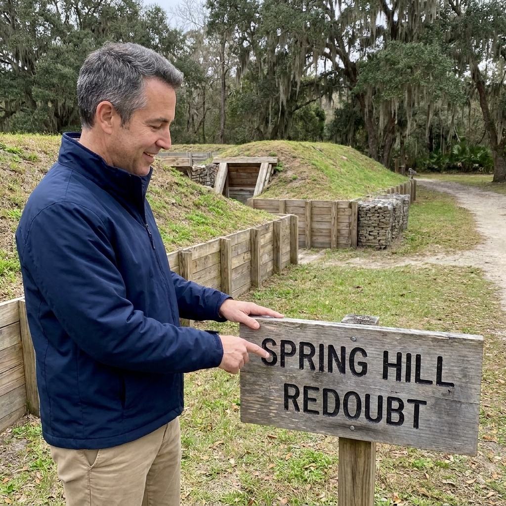
If you only do one thing connected to the siege on the ground, make it this. Battlefield Memorial Park is the most straightforward place to put your feet where fortification logic is the point of the visit.
Before you read anything, take one slow look around and ask a simple question: If I had to defend Savannah, why would I want a work here? In eighteenth-century fortification work, a few feet of advantage mattered, especially when paired with a ditch, a parapet, and cannon.
Stop 2: Read the redoubt
Here is what I try to do on-site instead of memorizing diagrams. I translate the redoubt into three practical ideas:
- Parapet logic: Where would defenders stand protected while firing?
- Ditch logic: Where would an attacker be slowed, funneled, or forced to climb?
- Field of fire: What open space in front would be dangerous to cross?
You may not get a clean, textbook-perfect outline, but you will get enough to feel why frontal assault could become a disaster fast.
Stop 3: Add one monument stop
After the redoubt, I like to add one monument stop that shifts the story from engineering to people. The key is to pick a stop you can reliably recognize when you arrive.
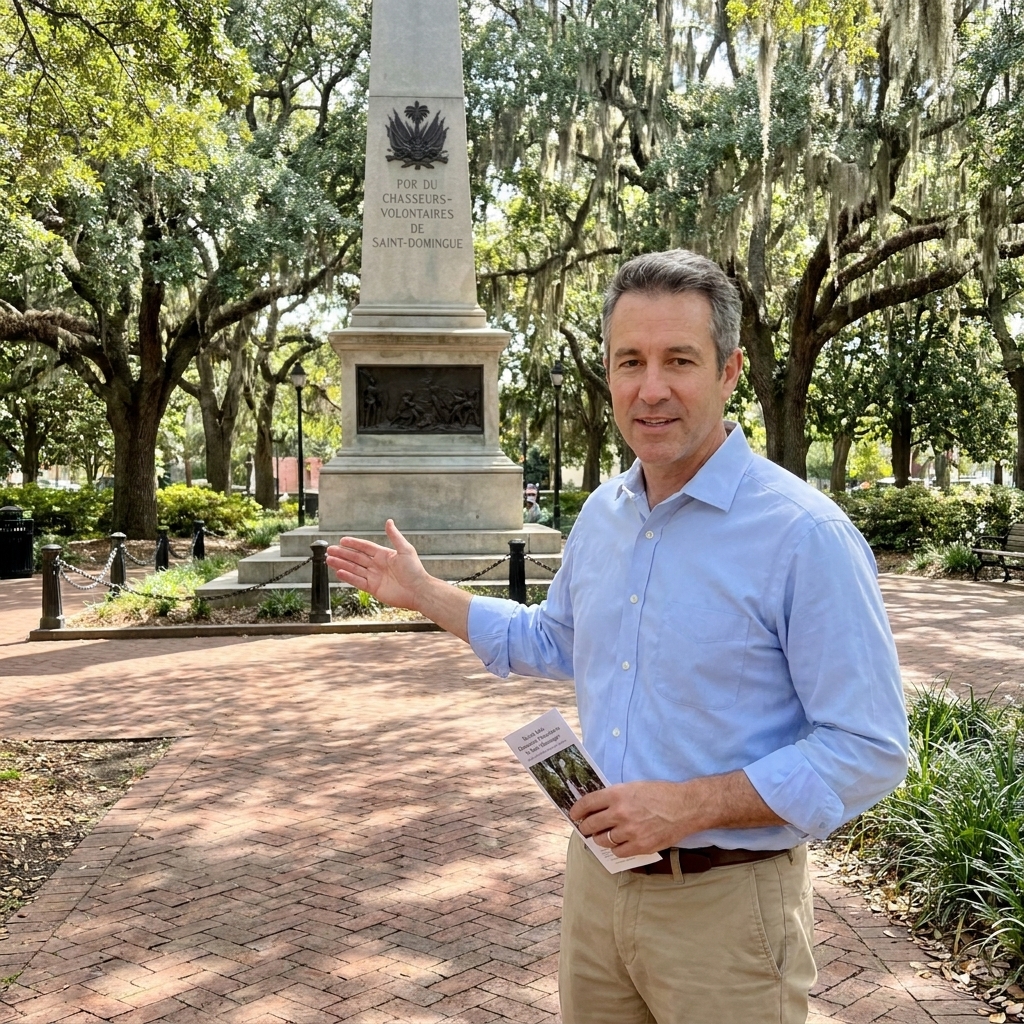
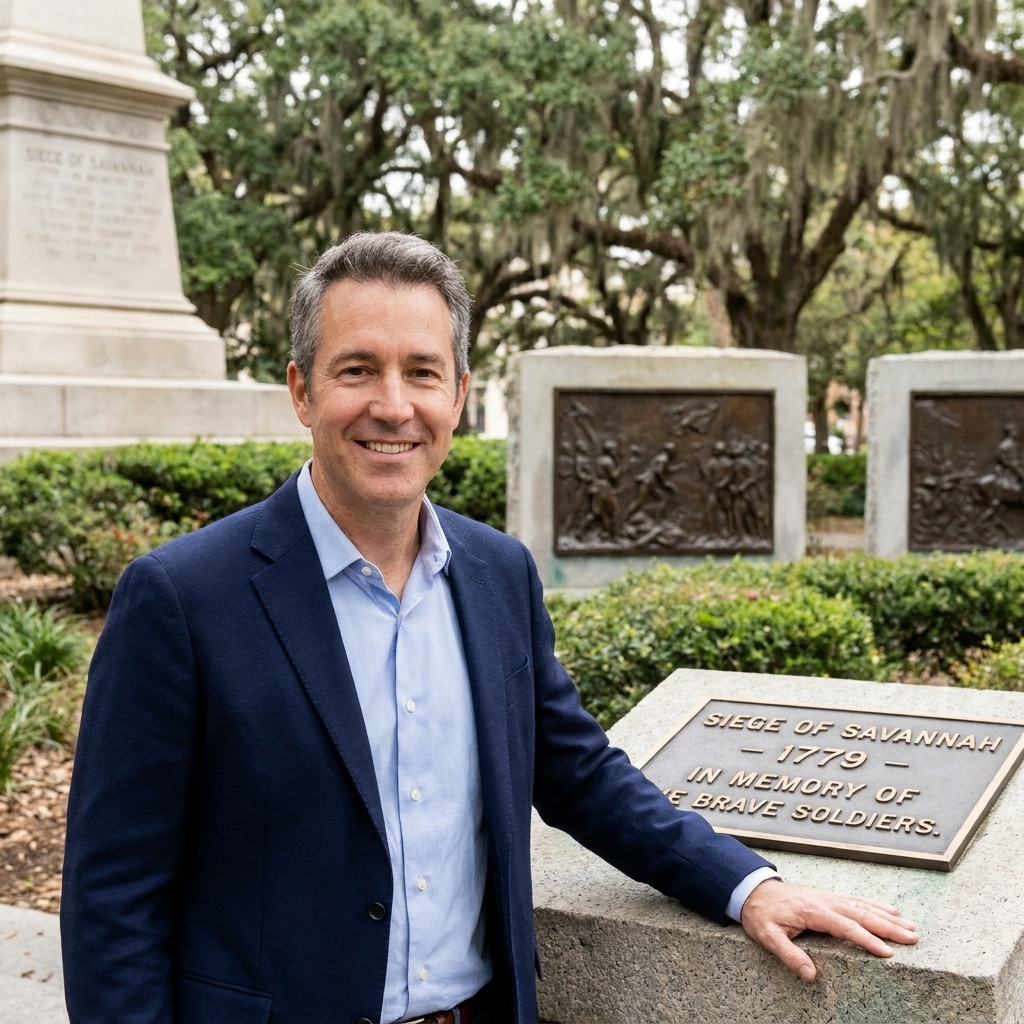
- Franklin Square (Haitian volunteers): This square is often visited for Savannah’s public commemoration of the Haitian and free-colored volunteers who fought with the allied force during the siege. On-site plaques and monument text do a better job than memory ever will of naming units and context, so I always read every panel.
- Pulaski Memorial Monument (Pulaski): For Pulaski, I recommend going straight to the Pulaski Memorial Monument itself rather than tying the stop to a specific square. Savannah has multiple Pulaski references, but this is the most direct, unmissable anchor for understanding how the city remembers him.
These stops work well because they keep you in walkable Savannah while widening the lens beyond earthworks.
Stop 4: Optional walk to Emmet Park
If you have the time and you enjoy long city walks, you can add Emmet Park as a separate, optional stop. Just do it with open eyes. It is over a mile away from Battlefield Memorial Park, and the connection is not a battlefield trail. It is sidewalks, stoplights, and real city traffic.
I include Emmet Park here only because some travelers like to stitch Savannah’s historic spaces together in one day. If your goal is specifically the Spring Hill Redoubt and the siege assault story, you do not need Emmet Park to have a complete visit.

Stop 5: End with the cost
Before you leave, give yourself a few quiet minutes to sit with what happened. The Siege of Savannah is often summarized as “failed assault,” but the memorial landscape exists because the losses were real and lasting, and because this was a major example of international cooperation on American soil that came at an awful price.
I have visited many Revolutionary War sites where the end feels triumphant. Savannah is different. It feels instructive. It shows what happens when fortifications, terrain, and timing all favor the defense.
What you are seeing
One reason the Spring Hill Redoubt matters is that it helps you visualize an eighteenth-century engineering problem inside a twenty-first-century city. In 1779, the British defenses were not just a wall. They were a system designed to slow an attacker, break up formations, and expose troops to overlapping fire.
When you are standing in a park surrounded by streets, it helps to translate what you see into three simple questions:
- Where would I place a gun to cover the most ground?
- Where would I force an attacker to bunch up?
- Where would I hide troops until the last possible moment?
If you like building trips around sites that still show defensive lines clearly, you might also enjoy reading about another place where fieldworks define the visit: Palmetto Logs and Cannonballs at Sullivan’s Island.
Make it a better visit
Pair Savannah with another Southern stop
If Savannah leaves you thinking about how the war shifted south, consider adding another Southern stop on a future trip. A favorite of mine for pure battlefield readability is Cowpens, where the story is told through terrain you can still walk in a surprisingly intact setting: The Battle of Cowpens.
Visiting with kids
For families, Savannah can work well because you can keep the visit short and focus on a few concrete things: “This is a fortification,” “This is why open ground is dangerous,” and “This is what a defensive position is designed to do.” For more ideas on keeping battlefield visits engaging for younger travelers, see Top 5 Revolutionary War Battlefields to Visit With Kids.
On-site checklist
- Park with Battlefield Memorial Park as your map pin.
- Walk the redoubt area once without reading anything. Let the shapes speak first.
- Then read the interpretation and revisit the same views with new information.
- If you add Franklin Square or the Pulaski Memorial Monument, treat them as quick context stops, not deep dives.
- If you walk between stops, use crosswalks and signals and assume heat will slow you down.
- Take one wide photo that captures open ground and angles, not just a monument close-up.
- Leave time for a quiet minute at the end. Savannah deserves it.
Further reading
If you want to deepen the experience without turning your trip into homework, two resources I recommend before or after your walk:
- https://www.nps.gov/subjects/americanrevolution/index.htm for broader Revolutionary War background and terminology.
- https://www.britannica.com/event/Siege-of-Savannah for a concise overview of the siege.
And if you are building a longer itinerary of places where you can stand on decisive ground, my starting hub for trip planning is Historic Sites.