
The first time I drove the Mohawk Valley with an old map folded on the passenger seat, I realized how misleading our usual Revolutionary War road trips can be. We love the clean story of “battlefield A, victory B.” But up here, the war spread out into farm lanes, river fords, burned mill sites, and forts that were equal parts refuge and target.
That is the landscape where Thayendanegea, better known as Joseph Brant, becomes hard to ignore. Brant was a Mohawk leader, a diplomat, and a wartime organizer whose choices still raise strong feelings. And the Iroquois Confederacy, a sophisticated political union, was pulled into a civil war layered on top of the Revolution. If you want to understand this part of New York, do not start with a single “big battle.” Start with the places that show what the frontier war looked like on the ground.
And when I say “burned mill sites,” I mean the kinds of traces you can miss if you are moving too fast: a stone foundation half swallowed by weeds, a mill race cut into a bank, an odd flat spot where water once did work, and then silence.
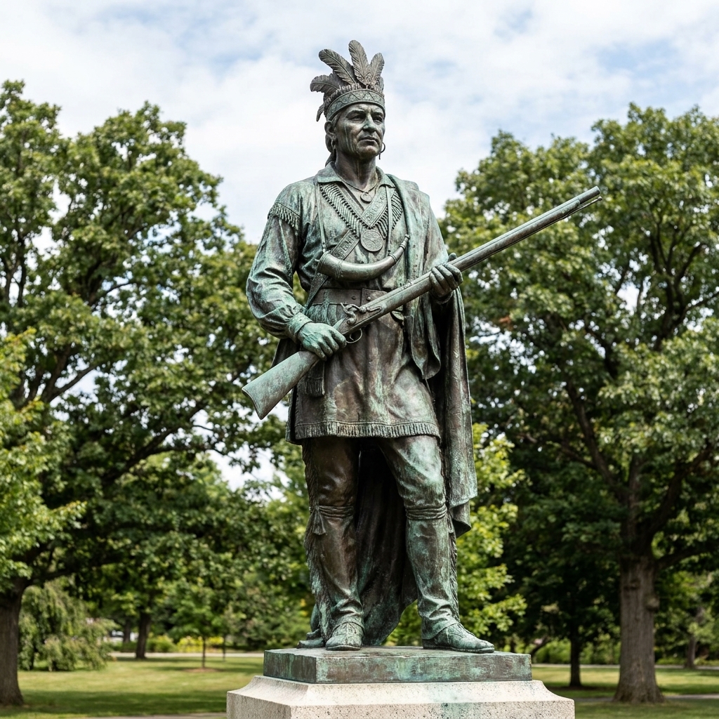
Before you tour: who Joseph Brant was
Joseph Brant was born around 1743. His birthplace is not firmly documented, and is often reported as the Ohio Country, sometimes more specifically near the Cuyahoga River in present-day Ohio. He rose to prominence among the Mohawk, one of the Six Nations of the Haudenosaunee, also called the Iroquois Confederacy. He was educated at Moor’s Indian Charity School, an earlier school run by Eleazar Wheelock that later evolved into Dartmouth College, and he moved comfortably between cultures in a moment when “neutral” was nearly impossible.
During the Revolution, many Haudenosaunee leaders tried to keep the Confederacy out of the conflict. But New York was their homeland, and both British and American forces wanted alliances, supplies, and control of the river corridors. The Confederacy ultimately fractured. Many Mohawk leaders, including Brant, allied with the Crown. Many Oneida and Tuscarora supported the Americans. Cayuga and Seneca communities were heavily drawn toward the British side. These are broad patterns, not a tidy rule. Towns, clans, and even households could make different choices, and those choices shifted as the war ground on.
When you visit frontier sites tied to Brant, I recommend carrying two thoughts at once: Brant was a real person making strategic choices under immense pressure, and the war inflicted brutal suffering on Native and non-Native communities alike. The sites you will see are not just “battle stops.” They are scar tissue on the landscape.
If you are newer to studying people of the Revolution through places, start with my People guide, then come back here with a notebook and a willingness to sit with the hard parts.
Frontier war basics: rivers, forts, burned valleys
It can feel easier on the Hudson to trace a campaign from point to point. On the frontier, geography dictated everything. The Mohawk River and the parallel chain of valleys, portages, and roads were the highways. Forts were not distant “front lines.” They were the local emergency rooms, food depots, and last-ditch shelters for families.
As you tour, look for three recurring features:
- Waterways and portages, especially where a river bend narrows travel and concentrates risk.
- Fort sites and stockaded villages, often positioned to control a road, a ford, or a cluster of farms.
- Open flats and field edges, where ambushes could break out within musket range of someone’s barn.
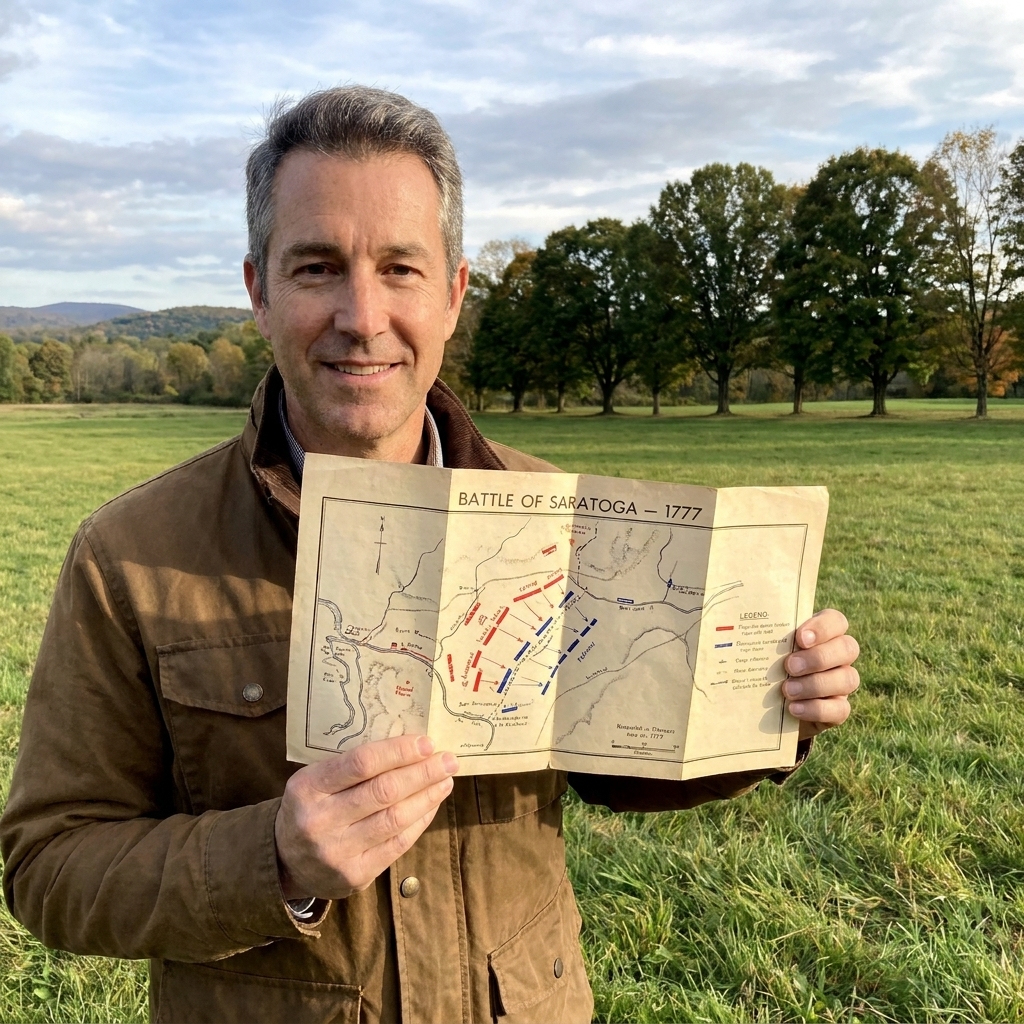
This is also a great kind of trip for map lovers. If you have never used battlefield style maps while standing on the ground, my guide on how to read Revolutionary War battlefield maps on site will help you match drawn lines to real ridges and creek beds.
What this route is and is not
A quick expectation check before we hit the road. Several stops below are Brant-adjacent rather than Brant’s personal biography. That is not a dodge, it is the truth of frontier history. You do not get one tidy homeplace and one tidy battlefield. Instead, you get corridors of movement, allied networks, and communities caught in the path of raids and retaliation.
This route is built to help you understand the New York frontier war that shaped Brant’s story, not to hunt down a single preserved “Joseph Brant site” the way you might tour a general’s headquarters. On this itinerary, Fort Stanwix and Oriskany are the strongest anchors for understanding the 1777 campaign context in which Brant is frequently discussed. The Fort Plain stop helps you see the wider Mohawk Valley fort system that framed so much of the war. The Schoharie and Cherry Valley stops widen the lens to the supply war, the raid corridors, and the human cost that still defines local memory.
Where to go in New York
You can tackle this as a long weekend based around the Mohawk Valley, or stretch it into a full week by adding the Schoharie and Cherry Valley corridors. The order below flows well by car and keeps you in the landscape most associated with frontier raids, fort life, and the retaliation campaigns that followed.
Season note: This is a back-roads trip. Summer can be hot and buggy in the valleys, fall is gorgeous but busy, and winter can turn short drives into long ones fast. I like late spring or early fall when you can linger outside without racing the weather.
Stop 1: Fort Stanwix (Rome)
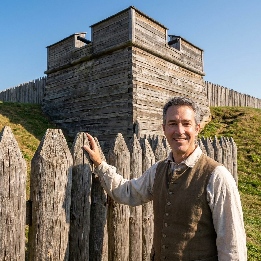
Fort Stanwix sits at a strategic portage between the Mohawk River system and the waterways leading toward the Great Lakes. During the war, that connection mattered as much as any “frontier line.” The fort’s story intersects with the wider 1777 Saratoga campaign and the fighting around the Mohawk Valley. Even when Brant is not the named headline at a site, the place helps explain why the region mattered so intensely.
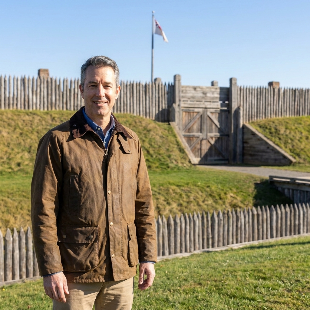
What to do on site: Walk the fort’s outline slowly. Pay attention to sightlines across the ditch and toward the approaches. Frontier warfare was not only about set-piece assaults. It was about whether you could see trouble coming and how fast you could pull people behind a wall.
Stop 2: Oriskany Battlefield (near Rome)
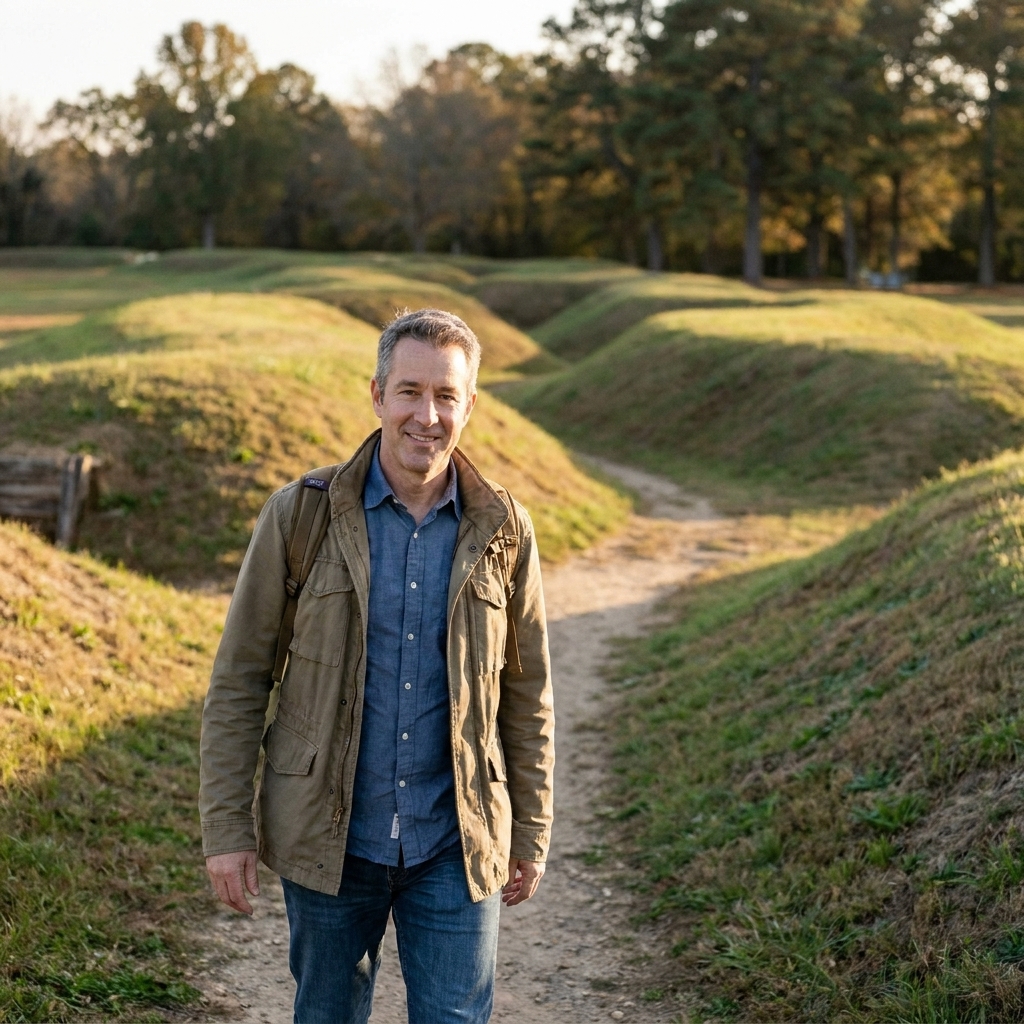
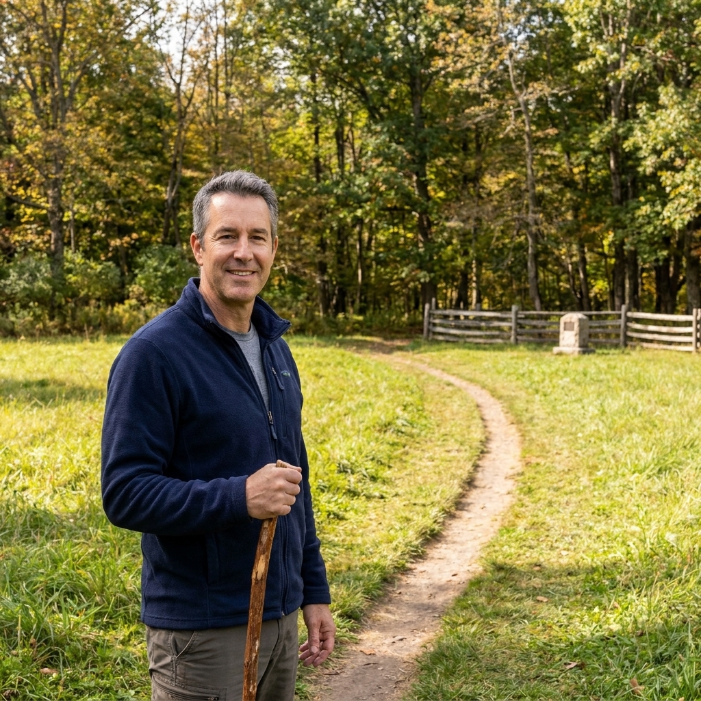
Oriskany is one of the most visceral battlefield walks in New York. The fighting in August 1777 was close, chaotic, and devastating, with Haudenosaunee warriors and colonial militia on both sides. Brant is often folded into popular retellings of the campaign, but his exact role at Oriskany is debated. What matters most on the ground is what Oriskany shows you: the Revolution here was also a civil war, fought neighbor to neighbor and nation to nation.
What to do on site: Give yourself time to walk the paths quietly. Read the ground. Think about the noise, the smoke, the rainstorm that hit during the battle, and the aftermath for families on every side of the line.
Stop 3: Fort Plain Museum (Fort Plain)
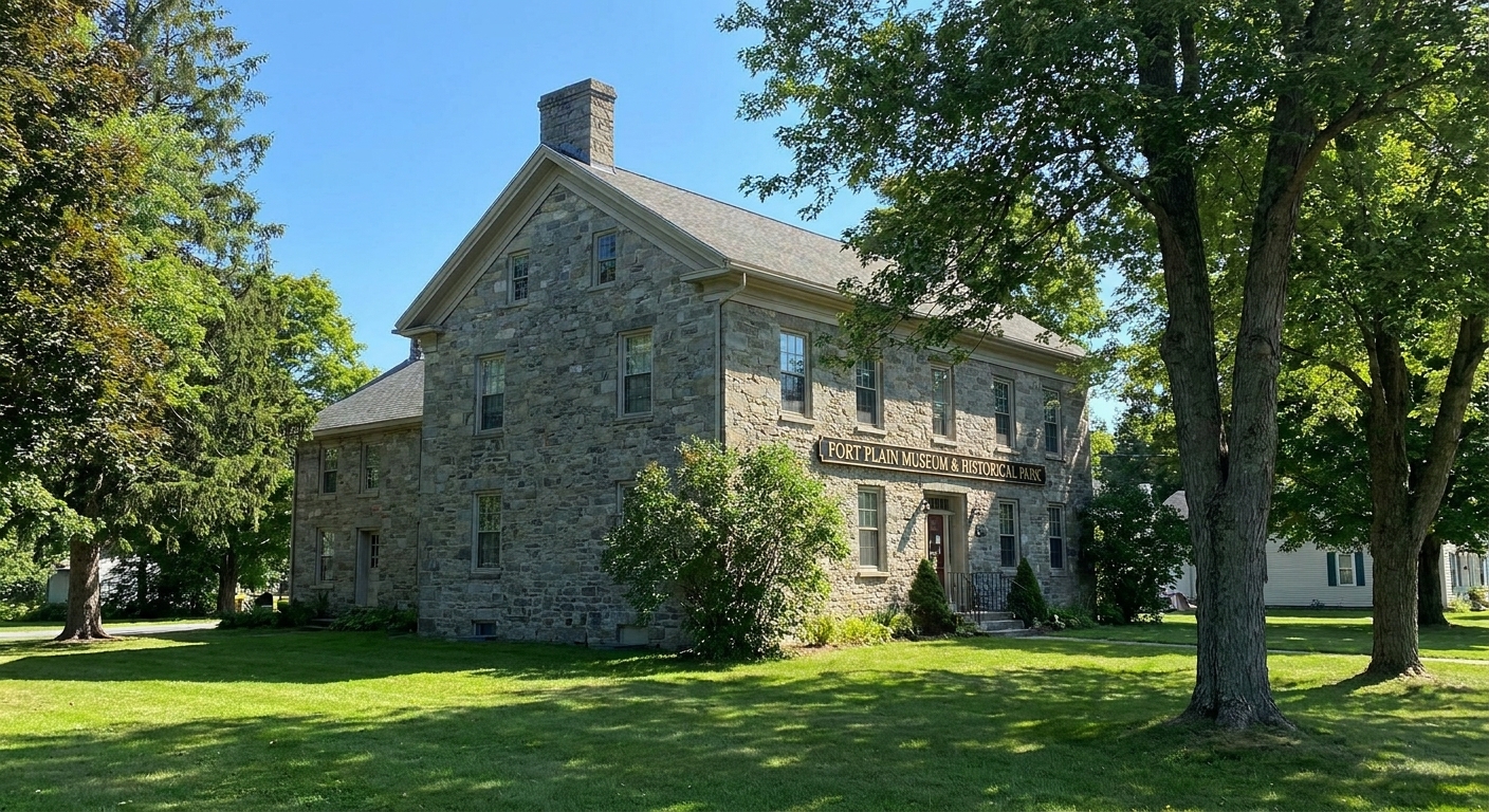
If you want one stop that ties the Mohawk Valley together, this is it. The Fort Plain complex is an excellent place to orient yourself, get your bearings on the frontier fort network, and see artifacts that make the war feel less abstract. It also helps you understand that the war here was long. It was not a single summer of marching and then a treaty. People lived with alarms, raids, shortages, and rebuilding year after year.
What to do on site: Start inside with exhibits and maps, then step outside and look at the lay of the land. Notice how the fort system was designed around communication and quick movement, not just one thick wall.
Stop 4: Schoharie Valley forts (Schoharie County)
The Schoharie Valley was a lifeline of supplies, and it became a target. Several small forts and fortified sites protected settlements in the valley. When you drive the roads here, you begin to understand the frontier war as a contest over food as much as flags.
To keep this from feeling vague, pick one named anchor, then let the valley fill in around it. A good anchor for planning purposes is Old Stone Fort, a familiar interpretive hub for the valley. Use it as your orientation stop, then drive the valley deliberately.
What to do on the ground: After your anchor stop, look for the logic of the place. Notice where the ridges pinch the valley and where roads run close to the creek. Ask yourself how quickly a warning could travel and where people would run if smoke rose from a neighbor’s farm.
Stop 5: Cherry Valley (Otsego County)
Cherry Valley is one of the places where the moral weight of the frontier war presses in. Attacks on settlements, killings of civilians, and cycles of retaliation are part of this story, and they are not comfortable to tour. But ignoring them produces a dishonest trip.
What to do on the ground: Keep it simple and respectful. Start with any on-site markers and interpretation you can find, then take a slow, quiet walk in the village area to get a feel for scale. If there is a cemetery nearby, pause there, not as a spectacle, but as a reminder that this was a lived-in community before it was a lesson. Try to picture what “distance to safety” meant when the safety was a fort or a neighbor’s house, not a distant army.
How to approach respectfully: Read the interpretation carefully. Avoid treating tragedy as a checklist stop. If you are traveling with kids, frame this as a discussion about what happens when wars spill into homes and harvest seasons, not as a scary story.
Brant’s legacy on the landscape
Joseph Brant can become either a cartoon villain or a cardboard hero, depending on which older account you pick up. Touring the frontier helps you stay grounded. Here is what I watch for when I visit these places:
- Diplomacy alongside violence. Brant was a war leader, but also a political figure operating within Haudenosaunee governance and British strategy.
- Mixed communities. Many valleys included Palatine German settlers, Dutch families, English descendants, Native communities, and recently displaced people. The war’s loyalties rarely followed neat ethnic lines.
- Logistics. Raids did not appear from nowhere. They followed rivers, roads, and supply needs. A quiet ford on today’s drive may have been a strategic chokepoint in 1778 or 1779.
- Aftermath. The frontier war did not end cleanly for the Haudenosaunee. Displacement and the loss of homelands are part of what these sites represent, even when the interpretive signs focus on a single battle date.
A 2 or 3 day itinerary
Option A: Two days in the Mohawk Valley
- Day 1: Fort Stanwix in the morning, Oriskany in the afternoon. End the day with a slow drive along stretches of the Mohawk River to get a feel for distance and direction.
- Day 2: Fort Plain Museum and nearby valley sites. Build in time for back roads. This is not a trip you want to rush.
Option B: Three days with a valley add-on
- Day 1: Fort Stanwix and Oriskany.
- Day 2: Fort Plain Museum, then drive deeper into the valley.
- Day 3: Schoharie Valley forts or Cherry Valley, depending on what kind of story you want to sit with longer: supply war and fort networks, or the human cost of raids and reprisals.
For general logistics like what to pack, how to pace your day, and how to keep a site visit fun instead of exhausting, I keep my core advice in Plan a Revolutionary War site visit.
Tips for touring with families
I get a lot of emails from parents who love history but worry this part of the Revolution is too grim. It can be, depending on how you frame it. Here is what has worked well for me when I have traveled with family members of different ages:
- Lead with place, not gore. Ask kids to notice rivers, hills, and how far they can see from a fort wall.
- Use choices language. Talk about why different communities made different alliances, and how those choices had consequences.
- Mix heavy stops with lighter ones. Pair a battlefield walk with a museum where artifacts can spark curiosity without emotional overload.
If you are building a broader kid-friendly road trip, my roundup of battlefields to visit with kids can help you balance tone and pacing.
Read more on the road
If you like to read the night before you visit a place, here are three dependable online starting points. They are not a substitute for on-site interpretation, but they will keep you oriented.
FAQ
Was Joseph Brant the leader of the entire Iroquois Confederacy?
No. The Haudenosaunee Confederacy had its own political structure, with councils and leaders across the Six Nations. Brant was a prominent Mohawk leader and diplomat, influential in wartime operations and British relations, but not a single “chief of all Iroquois.”
Did the Iroquois Confederacy fight for the British?
Not as a unified bloc. The Confederacy split during the Revolution. Many Mohawk, Seneca, Cayuga, and Onondaga communities leaned toward the British alliance, while many Oneida and Tuscarora supported the American side. Even within nations, individuals and families could differ.
Is Oriskany connected to Brant?
Oriskany is tightly connected to the broader 1777 fighting around Fort Stanwix and the contest for control of the Mohawk corridor. Brant is often discussed in relation to the campaign, but his exact role at Oriskany is debated. The most important reason to visit Oriskany is what it shows about the frontier war itself: close combat, divided communities, and a Revolution that doubled as civil war.
What is the best home base town for this trip?
For the core loop, I like staying somewhere in the Mohawk Valley where you can reach Rome, Oriskany, and Fort Plain without spending your whole day in the car. If you add the Schoharie or Cherry Valley area, consider splitting nights so you are not repeatedly backtracking.
More from My Revolutionary War
This frontier trip pairs well with the way I like to travel in general: follow the geography, then let the people come into focus. If you are building out a larger New York and New Jersey arc, my trip-style articles on Trenton and Princeton show a very different kind of campaigning, and my comparison of Saratoga vs Yorktown helps if you are deciding where to invest your long-distance travel time first.
And if you want to know who is behind the site and why I obsess over the back roads, you can find me at my author page.